Chest opened
+${chestReward.xp} XP
Explorer
NOUVEAU ×${chestReward.collectible.quantity}
tapez pour fermer
Chest locked

Open chests in the app

Around Us is built for your phone — chests unlock when you walk, explore and capture nearby places.

Enable Location

We need your location to show you interesting places around you

Discover nearby places

Find interesting locations and hidden gems around you

Precise directions

Get accurate directions and distances to places

Your location is never shared with other users. It's only used when you tap the location button.

Westbourne Grove

Log in to your account

Start exploring — it's free

Trusted by 72,889 travelers worldwide

Continue with Google
Continue with Apple
or

We will send you a code to connect

By continuing, you accept our Terms and Conditions and our Privacy Policy

Check your inbox

We've sent a pincode in your inbox. Please enter the code below.

Westbourne Grove
Discussion Reviews 1 Photos
15.9k Popularity

Westbourne Grove, retail road running across Notting Hill

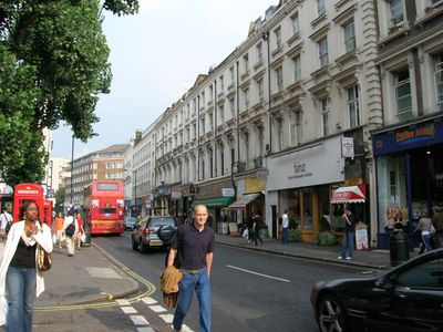
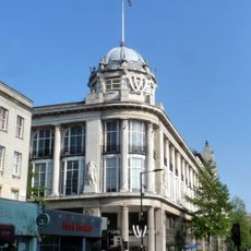
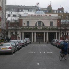
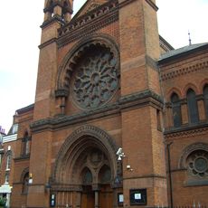
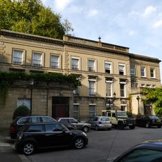
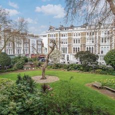
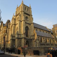
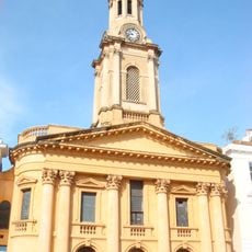
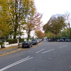
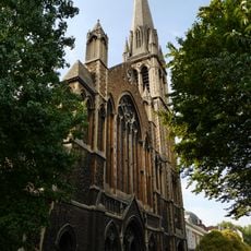
Westbourne Grove is a road that runs through Notting Hill from Kensington Park Road in the west to Queensway in the east, crossing Portobello Road along the way. The street features a mix of old and new buildings with independent shops, restaurants, cafes, and modern chain stores housed in both historic structures and contemporary storefronts.

Development of the street began in the 1840s when buildings expanded eastward from Bayswater westward, becoming part of the Ladbroke Estate. The western end of the street did not receive the name Westbourne Grove until 1938, having previously been known as Archer Street.

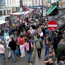
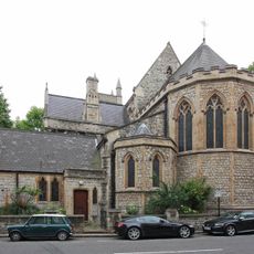
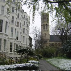
The street's name comes from Westbourne Green, which grew west of the River Westbourne, now flowing underground beneath the streets. The neighborhood reflects different periods of London's social history, from its origins as an area of estates and farms to its current role as a mixed community that gathers during celebrations like the Notting Hill Carnival.

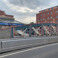
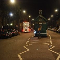
The street is easily accessible by train stations and bus stops nearby, making it simple to reach throughout the day. The area is busier during daytime hours and quiets down in the evening, providing good conditions for walking and exploring the side streets that branch off from the main road.

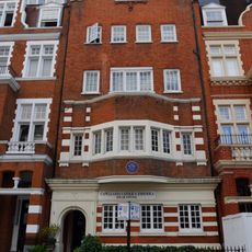
An underground river called the Westbourne runs beneath the street and once flowed openly, shaping the area's landscape. The neighborhood suffered decline in the 1950s but later transformed into an affluent shopping destination, attracting wealthier residents and visitors seeking a mix of history and contemporary culture.

The community of curious travelers

AroundUs brings together thousands of curated places, local tips, and hidden gems, enriched daily by 60,000 contributors worldwide.

Start exploring
GPS coordinates
51.51510,-0.19508
Latest update
February 19, 2026 23:20
Reviews
Share your experience

No review yet

Discussions
Start a discussion...

No discussion yet

« Westbourne Grove - retail road running across Notting Hill » is provided by Around Us (aroundus.com). Images and texts are derived from Wikimedia project under a Creative Commons license. You are allowed to copy, distribute, and modify copies of this page, under the conditions set by the license, as long as this note is clearly visible.

Discover hidden gems everywhere you go!

From secret cafés to breathtaking viewpoints, skip the crowded tourist spots and find places that match your style. Our app makes it easy with voice search, smart filtering, route optimization, and insider tips from travelers worldwide. Download now for the complete mobile experience.

Around Us App Screenshot

A unique approach to discovering new places

Le Figaro

All the places worth exploring

France Info

A tailor-made excursion in just a few clicks

20 Minutes

Around Us
Travel Guide & Maps
Download

Send to your phone

QR Code
1

Open the camera app on your mobile.

2

Point at the QR code with your camera. A notification will appear.

3

Tap the notification to open the link.