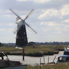
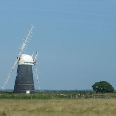
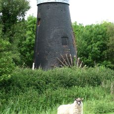
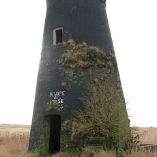
Stracey Arms Windpump, Drainage windmill in Halvergate, England.
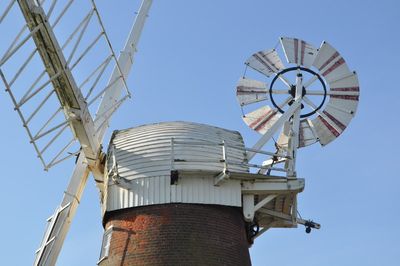
Stracey Arms Windpump is a red brick drainage mill tower with four stories, a weatherboarded roof cap, and internal gearing that powers a turbine pump for moving water. The structure sits between the River Bure and Acle Straight and shows how these machines were built to work reliably in the Norfolk wetlands.
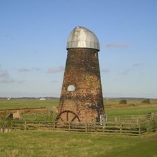
The tower was built in 1883 by Robert Barnes of Great Yarmouth and received important modifications in 1912 to improve its operation. During World War II, the building was adapted with firing ports and used as a defensive position before returning to its original water-management purpose after the war.
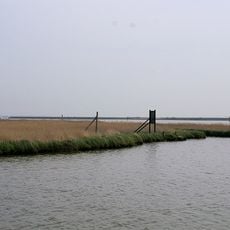
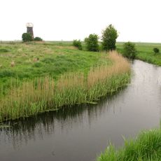
This structure represents the engineering approach that communities needed to manage water in the flat wetlands of the Broads region. Visitors can observe how such buildings were central to daily life and shaped the landscape for farming and settlement.
The location is away from main roads and is best reached by car or bicycle, from which you can explore the area on foot. The best time to visit is during the warmer months when the building opens to visitors and the surrounding countryside is more enjoyable to walk.
The tower still preserves the gun ports from its wartime use as a fortified defensive position, a fascinating remnant of an unusual transformation. These visible openings tell the story of how ordinary working buildings were adapted for military purposes during conflict.
The community of curious travelers
AroundUs brings together thousands of curated places, local tips, and hidden gems, enriched daily by 60,000 contributors worldwide.