Halvergate Marshes, Protected wetland site in Norfolk, England.
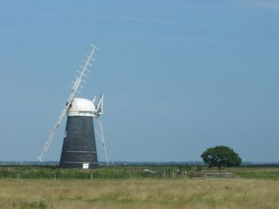
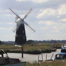
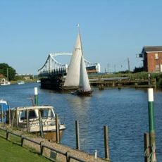
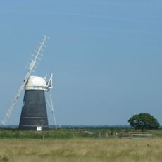
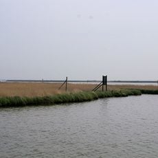
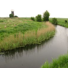
Halvergate Marshes is a large protected wetland site in Norfolk with interconnected waterways, grazing fields, and reed beds spread across the landscape. The terrain is crossed by a network of drainage channels that regulate water levels and support different types of habitats.
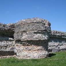
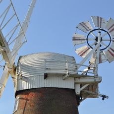
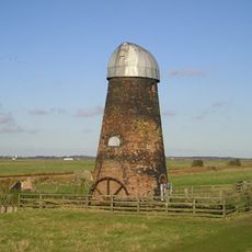
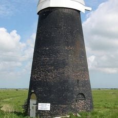
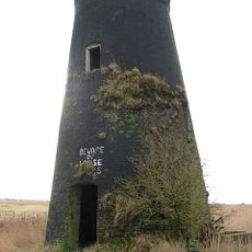
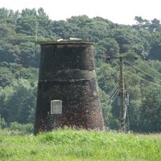
The area was transformed roughly 400 years ago through drainage systems that converted the marshy landscape into usable grazing land. These early engineering works shaped the current structure and turned it into a record of how people reshaped the land over time.
The marshes reflect traditional farming practices that have shaped the landscape for centuries, with local farmers managing the land as they have for generations. This way of working maintains both the character of the place and the habitats that wildlife depends on.
The site is accessible through designated paths where visitors can experience the landscape at their own pace. The best time to visit is autumn and winter when migratory birds arrive and the water channels become more active.
The site is home to a rare dragonfly species found only in a few parts of Britain, which makes these channels valuable for their survival. Spotting these insects is one of the surprising rewards for visitors who take time to look closely at the water.
The community of curious travelers
AroundUs brings together thousands of curated places, local tips, and hidden gems, enriched daily by 60,000 contributors worldwide.