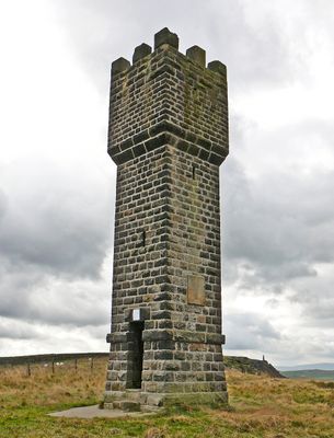
Lund's Tower, Folly tower in Sutton, England.
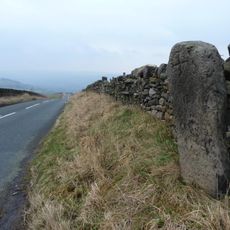
Lund's Tower is a stone folly tower standing on Earl Crag in Sutton, England, built with crenellated battlements at its top and a spiral staircase inside. The staircase leads up to a viewing platform from which the surrounding West Yorkshire moorland can be seen in several directions.
The tower was commissioned by James Lund in 1887 and designed by the firm R. B. Broster & Sons. Two accounts of its origin exist: one links it to Queen Victoria's Golden Jubilee that same year, while the other connects it to James Lund's daughter.
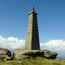
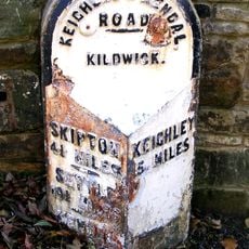
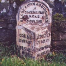
The tower is known locally as one of the "Salt and Pepper Pots", a nickname it shares with the nearby Wainman's Pinnacle because of how the two structures look together from a distance. Walkers on Earl Crag use it as a reference point and a place to stop and take in the open view over the surrounding moorland.
The tower sits on a high exposed ridge and is reached on foot along local walking paths, so sturdy footwear is a good idea. Weather on the ridge can change quickly, and a windproof layer is worth bringing at any time of year.
Although the tower is classified as a folly, meaning a structure built for decoration rather than use, the spiral staircase inside is still intact and can be climbed. This makes it one of the few examples of its kind in the area where the original interior feature survives.
The community of curious travelers
AroundUs brings together thousands of curated places, local tips, and hidden gems, enriched daily by 60,000 contributors worldwide.