Brimmond Hill, Summit in Aberdeen, Scotland.
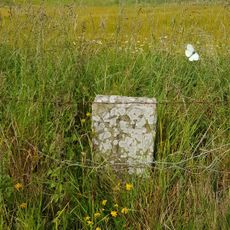
Brimmond Hill is a summit near Aberdeen that rises to 266 meters above sea level and features telecommunications masts at its peak. From the top, views extend across the North Sea and over the surrounding landscape toward the city.
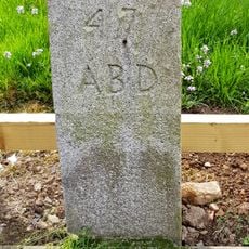
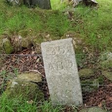
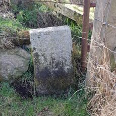
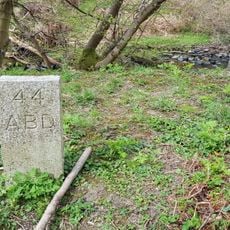
This hilltop has long served as a recognizable landmark in the Aberdeen area. Its geographical importance became more formal when it was classified within systems for categorizing Scottish hills and peaks.
Local people come here regularly to walk and spend time outdoors with views of the North Sea and the city below. The hilltop has become a familiar landmark where the community gathers for exercise and to enjoy the surroundings.
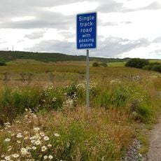
A parking area on the western side provides convenient access to maintained walking paths that lead directly to the summit. The routes are straightforward and accessible for most visitors without requiring special equipment.
The hilltop serves as a communications hub supporting transmissions between North Sea oil platforms and onshore operational centers. This function as a vital relay point remains a lesser-known aspect of its role in the region.
The community of curious travelers
AroundUs brings together thousands of curated places, local tips, and hidden gems, enriched daily by 60,000 contributors worldwide.