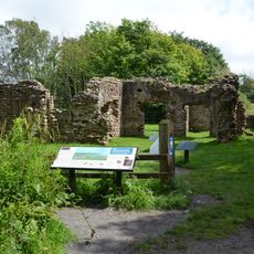
Glannoventa, Roman fort and settlement
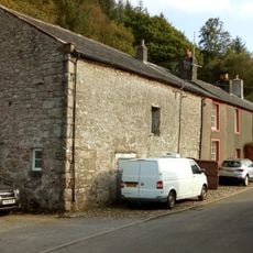
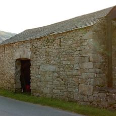
Glannoventa is an ancient Roman fort near Ravenglass in Cumbria that served as a coastal watchpoint with thick stone walls and foundations still visible today. The site layout reveals areas where soldiers were stationed and where supplies were kept, showing how the Romans built defensive structures to last for centuries.
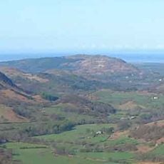
Glannoventa was built as a defensive outpost during the Roman occupation of Britain and was likely active in the 2nd and 3rd centuries. The fort helped control the coast and monitor trade routes, marking an important part of Rome's presence in this northern region.
The name Glannoventa comes from Latin, reflecting its Roman origins. The ruins today show how soldiers once lived and worked at this coastal post, creating a tangible connection to daily life in Roman Britain.
The site is accessible year-round with no barriers or restricted areas, allowing visitors to walk freely around the ruins. Wear comfortable shoes and bring water if you plan to explore the full area, as the open landscape offers ample space for wandering.
The ruins were rediscovered in the early 20th century when archaeologists uncovered Roman artifacts including tools, pottery, and coins. These finds provide valuable insights into the daily life of soldiers and settlers who lived at this coastal post.
The community of curious travelers
AroundUs brings together thousands of curated places, local tips, and hidden gems, enriched daily by 60,000 contributors worldwide.