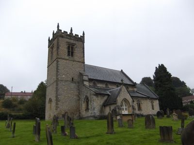
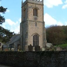
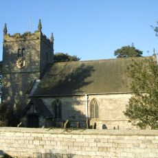
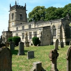
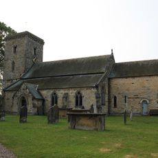
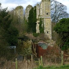
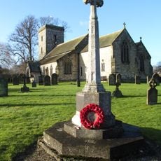
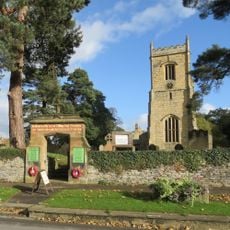
Stonegrave Minster, Medieval parish church in Stonegrave, England
Stonegrave Minster is a medieval stone church featuring a central tower, Norman arches in the north wall, and an extended chancel with a traditional apse. The structure shows layers of construction from different periods of English church building.
The church first appeared in written records in 757 AD through a letter from Pope Paul I to King Eadberht concerning an abbot's appointment at this site. It later survived Reformation changes and underwent major restoration work during the Victorian period.
The north aisle holds burial memorials of the Thornton family, including a rare carved stone figure with crossed legs created between 1300 and 1700. These monuments show how local families were remembered and honored within the church walls.
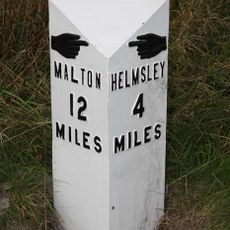
The church welcomes visitors during daylight hours when it is not in use for services, though it is best to check local information beforehand. The rural location in North Yorkshire means you will need your own transport or plan your visit with public travel options in mind.
A wooden rood screen from 1637 still stands in its original place, having survived both Reformation changes and the large-scale restoration work of 1863. This carved altar screen is a rare example of church fittings that passed through dramatic changes in religious life intact and unaltered.
The community of curious travelers
AroundUs brings together thousands of curated places, local tips, and hidden gems, enriched daily by 60,000 contributors worldwide.