
Stable Buildings To South West Of Charlton House, Grade I listed stable in Royal Borough of Greenwich, United Kingdom
Location: Royal Borough of Greenwich
GPS coordinates: 51.48000,0.03709
Latest update: March 9, 2025 21:51

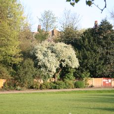
Maryon Park
1.1 km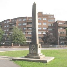
Woolwich Common
1.2 km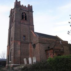
St Luke's Church
221 m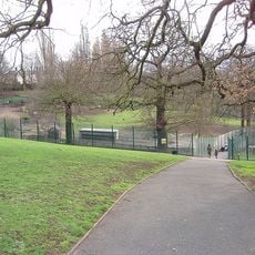
Maryon Wilson Park
669 m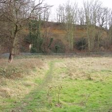
Gilbert's Pit
1.1 km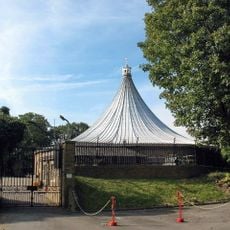
Rotunda
1.2 km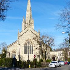
St John the Evangelist's Church
1.4 km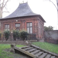
Garden house at Charlton House
150 m
The Valley
840 m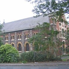
Church of St Thomas
1.2 km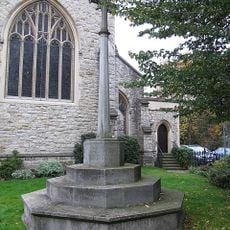
War memorial outside the Church of St John the Evangelist, Blackheath
1.3 km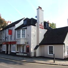
Bugle Horn Inn
187 m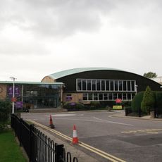
Corelli College (formerly Kidbrooke Comprehensive School for Girls)
1.3 km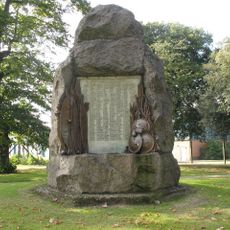
Afghan And Zulu War Memorial
1.2 km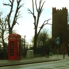
K2 Telephone Kiosk Near Junction With Charlton Church Lane
147 m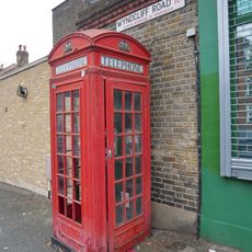
K2 Telephone Kiosk At Junction With Charlton Road
751 m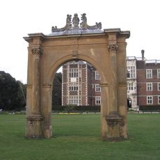
Gateway At Axis To West Of Charlton House
94 m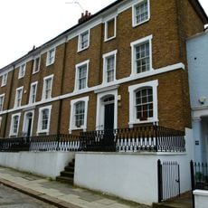
Numbers 106 To 110 Including Attached Walls And Railings
1.2 km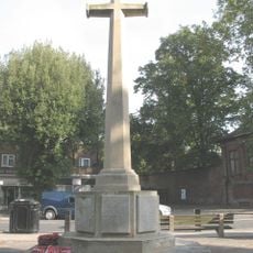
Charlton War Memorial
179 m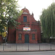
Charlton Assembly Rooms
237 m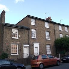
153-159, Woodhill Se18
1.3 km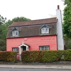
80, Charlton Road Se7
752 m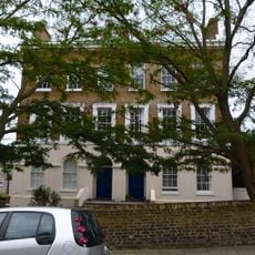
173 And 175, Woodhill Se18
1.3 km
North Boundary Walls To Grounds Of Royal Military Repository, From Corner Of Repository Road Westwards Almost To Opposite Maryon Road
1.4 km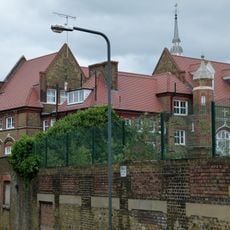
Woodhill School
1.3 km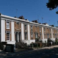
Beresford Terrace
1.2 km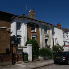
118 And 120, Woodhill Se18
1.2 km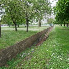
The Ha Ha
1.3 kmReviews
Visited this place? Tap the stars to rate it and share your experience / photos with the community! Try now! You can cancel it anytime.
Discover hidden gems everywhere you go!
From secret cafés to breathtaking viewpoints, skip the crowded tourist spots and find places that match your style. Our app makes it easy with voice search, smart filtering, route optimization, and insider tips from travelers worldwide. Download now for the complete mobile experience.

A unique approach to discovering new places❞
— Le Figaro
All the places worth exploring❞
— France Info
A tailor-made excursion in just a few clicks❞
— 20 Minutes