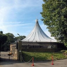
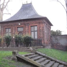
Maryon Wilson Park, Urban park in Charlton, London.
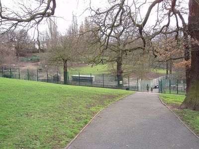
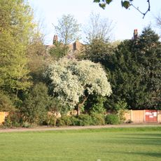
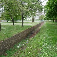
Maryon Wilson Park is an urban park in Charlton featuring grasslands, woodlands, and winding paths across sloping terrain near the Thames Barrier. The grounds include sports facilities and play areas distributed throughout the landscape for visitors of all ages.
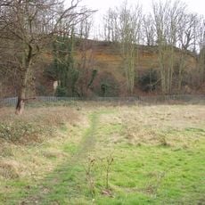
The land was originally known as Hanging Woods for its steep slopes and served as a hideout for highwaymen operating in the area. Later, Cox's Mount within the park played a role in helping with navigation and geographic orientation.
The park maintains an animal enclosure where the Park Ranger Service conducts weekly tours for children to interact with and feed various animals.
Visitors can enter the park through multiple entrances on Woolwich Road, Charlton Lane, and Thorntree Road. The terrain varies in steepness, so sturdy footwear and time for exploration are recommended.
Cox's Mount was originally a Roman fortification and later served 19th-century ships as a navigation reference point for compass calibration. This dual historical use makes the hill an unexpected archaeological and nautical landmark.
Location: Charlton
GPS coordinates: 51.48470,0.04310
Latest update: December 12, 2025 09:05
Maryon Park
479 m
St Luke's Church
604 m
Gilbert's Pit
508 m
Rotunda
689 m
Garden house at Charlton House
622 m
The Valley
604 m
Church of St Thomas
513 m
Bugle Horn Inn
569 m
Former Police Station To Royal Dockyard
936 m
Afghan And Zulu War Memorial
830 m
Cambridge Barracks Entrance
941 m
K2 Telephone Kiosk Near Junction With Charlton Church Lane
654 m
Charlton Assembly Rooms
444 m
Gateway At Axis To West Of Charlton House
664 m
Chimney To Steam Factory, Former Royal Dockyard
952 m
Forecourt Railings And Gates To Red Barracks, And Gate Lodge
923 m
Charlton War Memorial
622 m
Numbers 106 To 110 Including Attached Walls And Railings
602 m
Army Ordnance Department War Memorial
967 m
153-159, Woodhill Se18
652 m
The Ha Ha
964 m
173 And 175, Woodhill Se18
639 m
Woodhill School
669 m
118 And 120, Woodhill Se18
593 m
Green Hill Garrison School
903 m
Beresford Terrace
635 m
North Boundary Walls To Grounds Of Royal Military Repository, From Corner Of Repository Road Westwards Almost To Opposite Maryon Road
791 m
Stable Buildings To South West Of Charlton House
669 mVisited this place? Tap the stars to rate it and share your experience / photos with the community! Try now! You can cancel it anytime.
Discover hidden gems everywhere you go!
From secret cafés to breathtaking viewpoints, skip the crowded tourist spots and find places that match your style. Our app makes it easy with voice search, smart filtering, route optimization, and insider tips from travelers worldwide. Download now for the complete mobile experience.
A unique approach to discovering new places❞
— Le Figaro
All the places worth exploring❞
— France Info
A tailor-made excursion in just a few clicks❞
— 20 Minutes