Charlton, Residential district in southeast Greenwich, England.
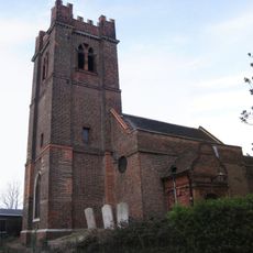
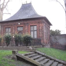
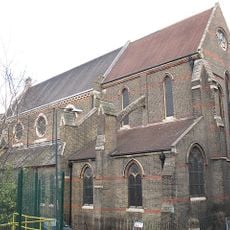
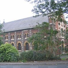
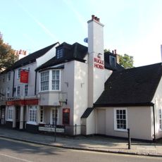
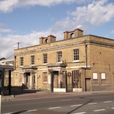
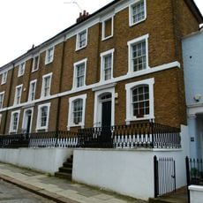
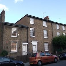
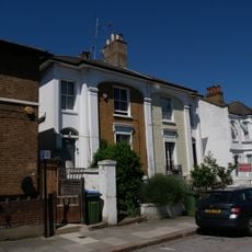
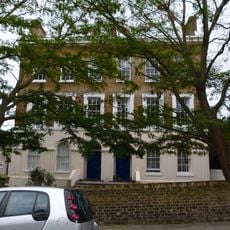
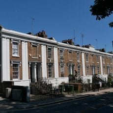
Charlton is a residential area in southeast London that stretches south of the Thames between Greenwich Park and Woolwich Common, characterized by traditional English architecture. The district combines brick houses and older Victorian homes that define the local streetscape.
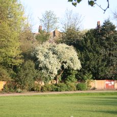
Originally a small village called Cerletone, it appeared in the 1086 Domesday Book before transforming into a London suburb after joining the metropolitan area in 1855. This change shaped its character from a rural settlement into an urban residential district.
The neighborhood is closely tied to Charlton Athletic Football Club, which has shaped the community since its founding and continues to draw supporters to its home ground.
The area offers good rail connections with direct trains to London Bridge station, with journey times between 16 and 27 minutes. Regular service with up to eight trains per hour makes it easy to explore the neighborhood and reach other parts of London.
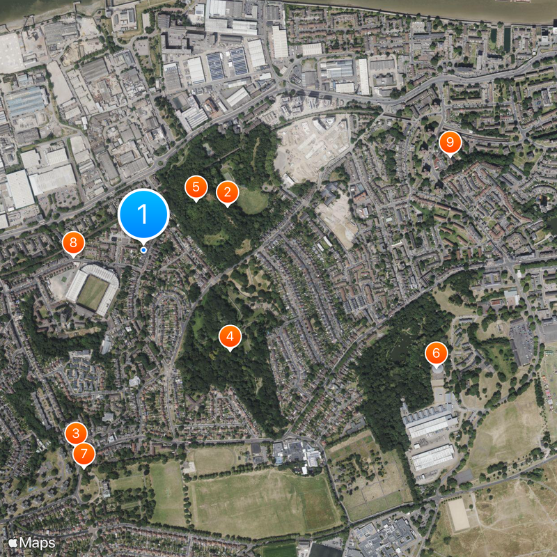
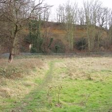
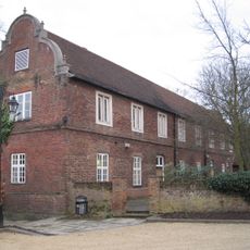
An ancient mulberry tree planted in 1608 stands at Charlton House, serving as a reminder of early English silk production attempts during the Jacobean era. The tree is among the few surviving witnesses to this historical enterprise.
The community of curious travelers
AroundUs brings together thousands of curated places, local tips, and hidden gems, enriched daily by 60,000 contributors worldwide.