
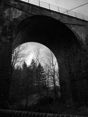
Barns Viaduct, railway viaduct in Scottish Borders, Scotland, UK
Location: Scottish Borders
Location: Cavers
Inception: 1860
Part of: Waverley Route
GPS coordinates: 55.37990,-2.78310
Latest update: March 4, 2025 20:39
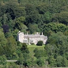
Branxholme Castle
4.4 km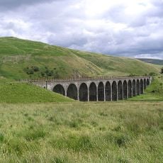
Shankend Viaduct
4.2 km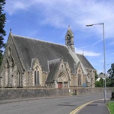
Hawick, Slitrig Crescent, St Cuthbert's Episcopal Church
4.4 km
Hawick Moat Park, motte
4.3 km
Hawick, St Mary's Place, St Mary's Church
4.5 km
Boer War Memorial
4.5 km
11 Howegate, Hawick
4.6 km
Rectory, Lynnwood Road, Hawick
4.3 km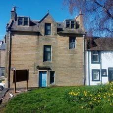
1 St Mary's Place, Hawick
4.5 km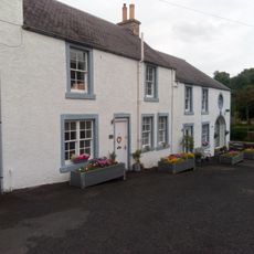
Slitrig Gospel Hall, 2,4,6 Old Manse Lane, Hawick
4.5 km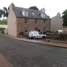
Slitrig Bank House, 1 Slitrig Bank, Hawick
4.5 km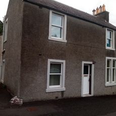
8 Old Manse Lane, Hawick
4.5 km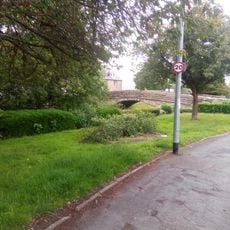
Kirkwynd Bridge, Slitrig Water, Hawick
4.4 km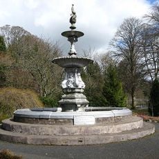
Wilton Lodge Park Fountain
4.5 km
7 Slitrig Crescent, Hawick
4.4 km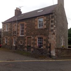
Mill House, 1 Slitrig Crescent, Hawick
4.5 km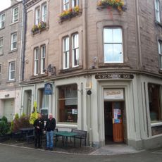
1 Silver Street and 9 Kirkstile, including The Exchange Bar, Hawick
4.6 km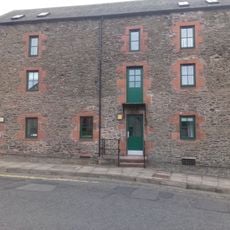
Hawick, Mill Path, Corn Mill
4.5 km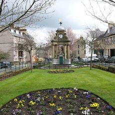
Hawick, Drumlanrig Square, Fountain
4.5 km
Riversdale, Lynnwood Road, Hawick
4.3 km
17 Siltrig Crescent
4.3 km
19 Howegate, Hawick
4.5 km
12 Howegate, Hawick
4.6 km
5 Slitrig Crescent, Hawick
4.5 km
Penchrise Pen
3.9 km
18 Siltrig Crescent, Hawick
4.3 km
19 Siltrig Crescent
4.3 km
Newton Hill
2 kmReviews
Visited this place? Tap the stars to rate it and share your experience / photos with the community! Try now! You can cancel it anytime.
Discover hidden gems everywhere you go!
From secret cafés to breathtaking viewpoints, skip the crowded tourist spots and find places that match your style. Our app makes it easy with voice search, smart filtering, route optimization, and insider tips from travelers worldwide. Download now for the complete mobile experience.

A unique approach to discovering new places❞
— Le Figaro
All the places worth exploring❞
— France Info
A tailor-made excursion in just a few clicks❞
— 20 Minutes