
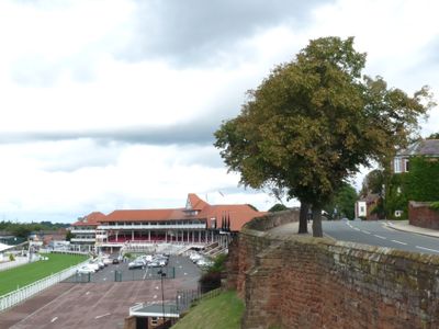
Part of City Wall from Grosvenor Road to the Watergate
Part of City Wall from Grosvenor Road to the Watergate, Grade I listed building in the United Kingdom
Location: Cheshire West and Chester
Part of: Chester city walls
GPS coordinates: 53.18630,-2.89542
Latest update: March 8, 2025 23:08
Chester Castle
236 m
Grosvenor Museum
230 m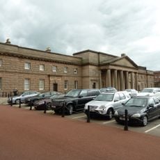
Chester Crown Court
244 m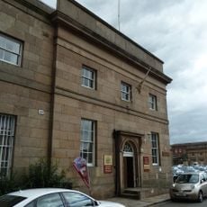
Cheshire Military Museum
228 m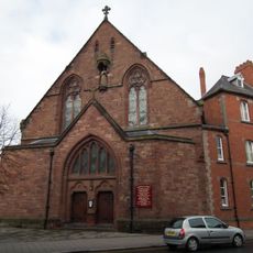
St Francis' Church, Chester
244 m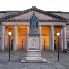
Statue of Queen Victoria
207 m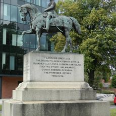
Equestrian statue of Viscount Combermere
116 m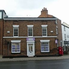
18, Grosvenor Street
284 m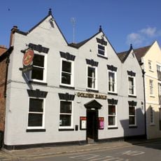
Golden Eagle Public House
267 m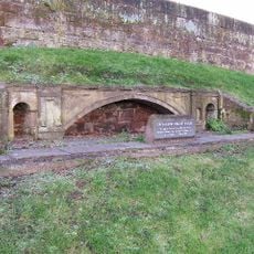
Model of the Grosvenor Bridge
212 m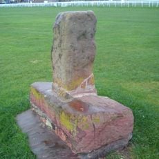
Base and part shaft of Roodeye Cross at SJ 4016 6584
93 m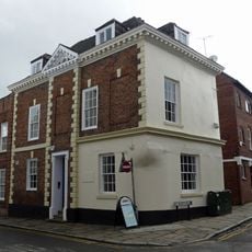
25, Castle Street
271 m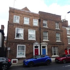
20 and 22, Cuppin Street
283 m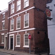
The Georgian House
252 m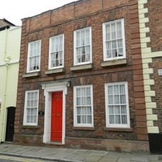
Castle House
280 m
Former Premises Of Trustee Savings Bank
208 m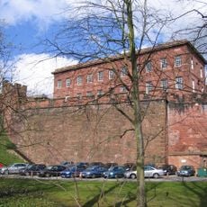
Curtain wall to south of inner bailey
238 m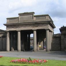
Propylaea
139 m
Number 16 West Wing
272 m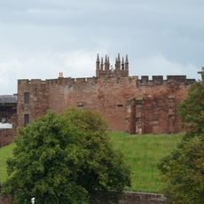
Curtain wall to west and south west of inner bailey, Chester Castle
196 m
43, White Friars
259 m
37 and 39, White Friars
266 m
22, Castle Street
243 m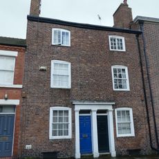
31 and 33, White Friars
282 m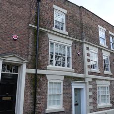
41, White Friars
262 m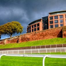
Part Of Roman Quay Wall South Of Lateral Steps From Nuns Road
77 m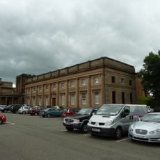
B Block
199 m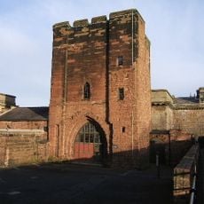
Agricola Tower
242 mReviews
Visited this place? Tap the stars to rate it and share your experience / photos with the community! Try now! You can cancel it anytime.
Discover hidden gems everywhere you go!
From secret cafés to breathtaking viewpoints, skip the crowded tourist spots and find places that match your style. Our app makes it easy with voice search, smart filtering, route optimization, and insider tips from travelers worldwide. Download now for the complete mobile experience.

A unique approach to discovering new places❞
— Le Figaro
All the places worth exploring❞
— France Info
A tailor-made excursion in just a few clicks❞
— 20 Minutes