
Jesus College, South Range, Inner Quadrangle
Jesus College, South Range, Inner Quadrangle, Grade I listed building in Oxford, United Kingdom
Location: Oxford
Part of: Buildings of Jesus College, Oxford
GPS coordinates: 51.75320,-1.25711
Latest update: March 2, 2025 20:16

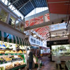
Covered Market
62 m
St Michael at the North Gate
95 m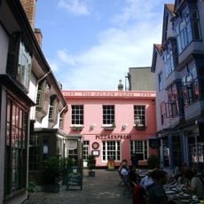
Golden Cross
93 m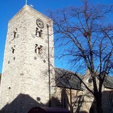
City Church
99 m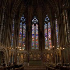
Exeter College, Chapel On North Side Of Quadrangle, Main Quadrangle
103 m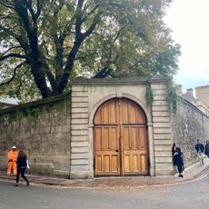
Jesus College, Boundary Wall Fronting Ship Street To The East Of The New Block And Turl Street North Of The Chapel
82 m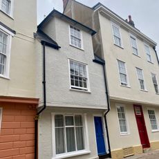
12, Ship Street
72 m
19 And 20, Broad Street
102 m
16, Broad Street
101 m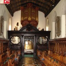
Jesus College, Chapel, North Range
56 m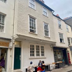
6, Ship Street
74 m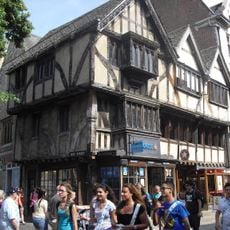
26 And 27, Cornmarket Street
95 m
3, Ship Street
79 m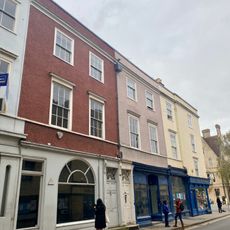
17-19, Turl Street
97 m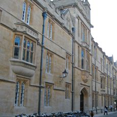
Jesus College, New Block On The South Side Of Ship Street
56 m
17 And 18, Broad Street
101 m
12, Broad Street
105 m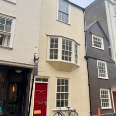
9, Ship Street
73 m
10, Ship Street
72 m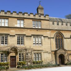
Jesus College, Principals Lodging, North Range
46 m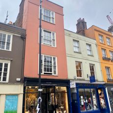
14, Broad Street
102 m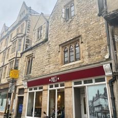
26, Ship Street
91 m
21, Broad Street
103 m
22, Broad Street
105 m
13, Broad Street
104 m
15, Broad Street
101 m
1 and 2, Ship Street
84 m
4, Ship Street
76 mReviews
Visited this place? Tap the stars to rate it and share your experience / photos with the community! Try now! You can cancel it anytime.
Discover hidden gems everywhere you go!
From secret cafés to breathtaking viewpoints, skip the crowded tourist spots and find places that match your style. Our app makes it easy with voice search, smart filtering, route optimization, and insider tips from travelers worldwide. Download now for the complete mobile experience.

A unique approach to discovering new places❞
— Le Figaro
All the places worth exploring❞
— France Info
A tailor-made excursion in just a few clicks❞
— 20 Minutes