
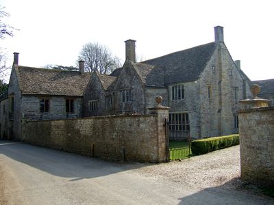
The Manor House And Attached Walls North And South
The Manor House And Attached Walls North And South, Grade I listed building in West Dorset, United Kingdom
Location: West Dorset
Location: Purse Caundle
GPS coordinates: 50.95750,-2.43537
Latest update: March 3, 2025 15:47

Ven House
1.7 km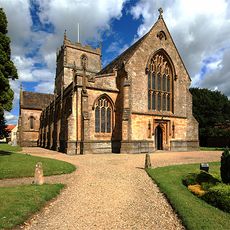
Church of St John the Evangelist, Milborne Port
2.1 km
Old St Cuthbert's Church, Oborne
4.1 km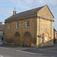
Town Hall
2 km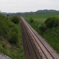
Laycock Railway Cutting
4 km
Church of St Nicholas
3.5 km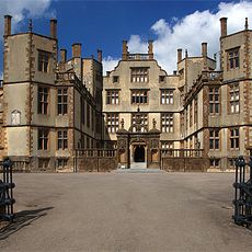
Sherborne Castle
4.8 km
The Church Room
4 km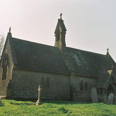
Parish Church of Sts Peter and Paul
4.8 km
Church of St Mary
3.9 km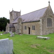
Church of St Mary Magdalene
4.8 km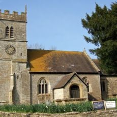
Parish Church of St Peter
106 m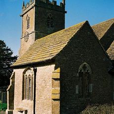
Parish Church of St Peter
3.1 km
Parish Church of St Peter
2 km
Church of St Peter and St Paul
4.5 km
Parish Church of St Cuthbert
4.2 km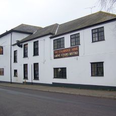
Stalbridge Arms Public House
4.2 km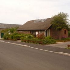
Stalbridge Library
4.1 km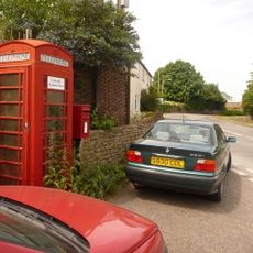
Letter Box And Wall, Immediately East Of The Warren
4 km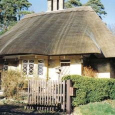
Goathill Lodge
2.2 km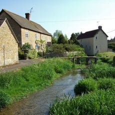
Footbridge With Ford Alongside, 20 Metres South Of Road Bridge
2.5 km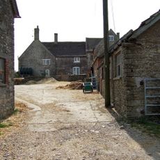
Manor Farmhouse
4.7 km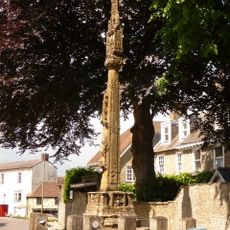
Market Cross
4 km
Promontory fort on Barrow Hill
3.9 km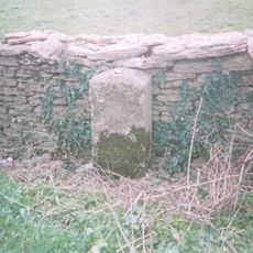
Milestone, SW of Henstridge, nr Toomer Farm
1.8 km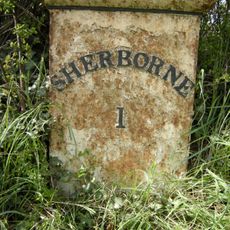
Milepost, opp. turning to Sherborne Castle
4.5 km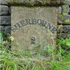
Milepost, E of Sherborne
3.2 km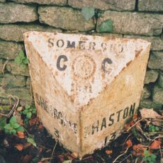
Milepost, London Road, E side of village
1.8 kmReviews
Visited this place? Tap the stars to rate it and share your experience / photos with the community! Try now! You can cancel it anytime.
Discover hidden gems everywhere you go!
From secret cafés to breathtaking viewpoints, skip the crowded tourist spots and find places that match your style. Our app makes it easy with voice search, smart filtering, route optimization, and insider tips from travelers worldwide. Download now for the complete mobile experience.

A unique approach to discovering new places❞
— Le Figaro
All the places worth exploring❞
— France Info
A tailor-made excursion in just a few clicks❞
— 20 Minutes