
Service Range To South East Of Blickling Hall, building in Blickling, Norfolk, UK
Location: Blickling
Part of: Blickling Hall
GPS coordinates: 52.81110,1.23164
Latest update: March 2, 2025 22:48

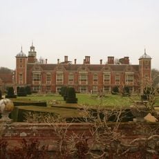
Blickling Hall
67 m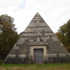
The Mausoleum
1.5 km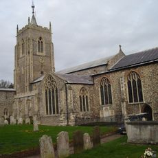
Parish Church of Saint Michael
2.1 km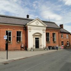
Town Hall
2.2 km
Church of St Lawrence
1.7 km
Church of St Margaret
3.1 km
Church of St Andrew
169 m
Baptist Chapel
2.2 km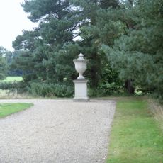
Pair Of Urns To North And South Of The Doric Temple
398 m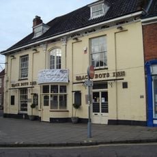
Black Boys Hotel
2.2 km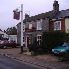
The Feathers Public House
2.2 km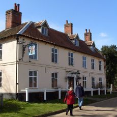
Buckinghamshire Arms Public House
211 m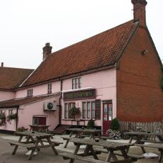
The Unicorn Public House
2.2 km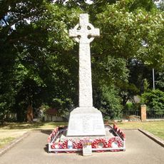
Aylsham War Memorial
2.1 km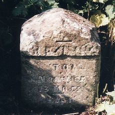
Milestone On North Side Of B1354
1.1 km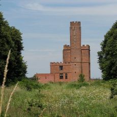
The Tower House
1.8 km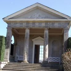
The Doric Temple
354 m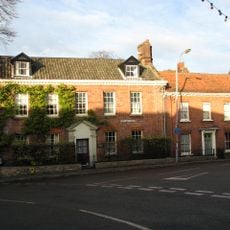
Bayfield House
2.1 km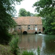
Water Mill
2.2 km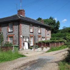
1-8, Mashes Row
2.1 km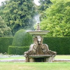
Fountain, Approximately 50 Metres East Of Blickling Hall
73 m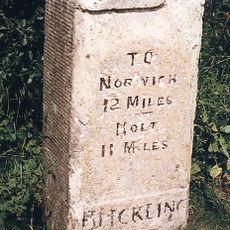
Milestone On North Side Of B1354 Approx 280M West Of Flashpit Farmhouse
558 m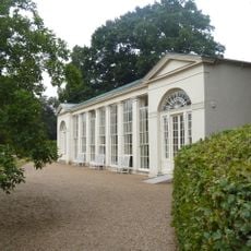
The Orangery
307 m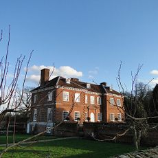
The Old Hall
1.5 km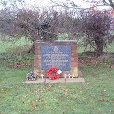
RAF Oulton Memorial
2.7 km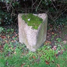
Milepost, Norwich Road, opp. No. 74
1.6 km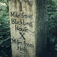
Milestone, opp. W end of wood, 10yds E of metal gate opp.
1.1 km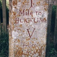
Milestone, by Keepers Cottage
883 mReviews
Visited this place? Tap the stars to rate it and share your experience / photos with the community! Try now! You can cancel it anytime.
Discover hidden gems everywhere you go!
From secret cafés to breathtaking viewpoints, skip the crowded tourist spots and find places that match your style. Our app makes it easy with voice search, smart filtering, route optimization, and insider tips from travelers worldwide. Download now for the complete mobile experience.

A unique approach to discovering new places❞
— Le Figaro
All the places worth exploring❞
— France Info
A tailor-made excursion in just a few clicks❞
— 20 Minutes