
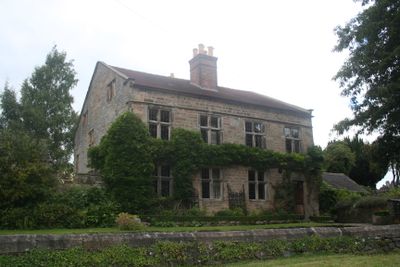
Wheatsheaf Farmhouse, Grade II* listed house in Old Matlock, Derbyshire
Location: Matlock Town
Inception: 1681
Floors above the ground: 2
Made from material: stone
GPS coordinates: 53.13370,-1.55272
Latest update: March 3, 2025 05:04
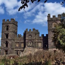
Riber Castle
923 m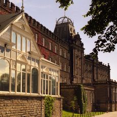
County Hall
992 m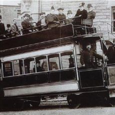
Matlock Cable Tramway
757 m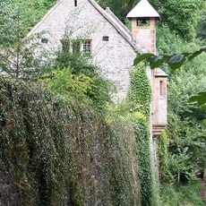
St John the Baptist's Chapel, Matlock Bath
660 m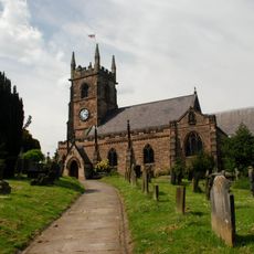
Church of St Giles
82 m
Derwent House, Matlock
184 m
Matlock Town Hall
647 m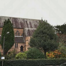
Church of All Saints
1.1 km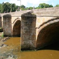
Matlock Bridge
522 m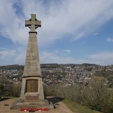
Pic Tor War Memorial
178 m
High Tor Hotel
671 m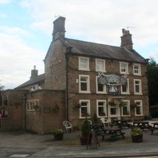
Duke William Inn
53 m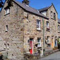
86-92, Church Street
107 m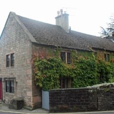
King's Head Inn
58 m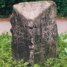
Milestone, S of Derwent Footbridge, S of Matlock Bridge
340 m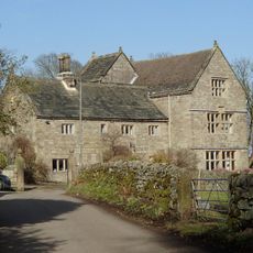
Manor House
1.1 km
15, Knowlestone Place
179 m
5, Knowlestone Place
181 m
7-13, Knowlestone Place
178 m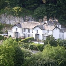
The Rocks
485 m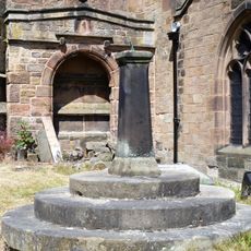
Sundial In St Giles Churchyard
66 m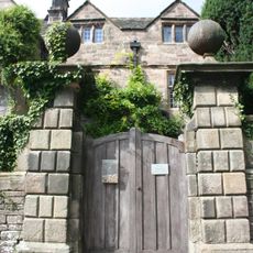
Front garden wall and gate piers of Riber Hall
1.1 km
High Tor
809 m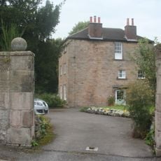
The Rectory
55 m
Churchyard Wall And Gatepiers Of St Giles
50 m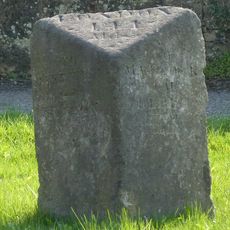
Mile Stone 2 Miles From Matlock
914 m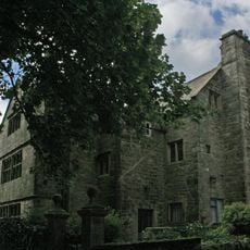
Riber Hall
1.1 km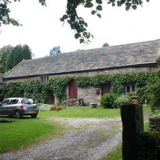
Barn of Riber Hall
1.1 kmReviews
Visited this place? Tap the stars to rate it and share your experience / photos with the community! Try now! You can cancel it anytime.
Discover hidden gems everywhere you go!
From secret cafés to breathtaking viewpoints, skip the crowded tourist spots and find places that match your style. Our app makes it easy with voice search, smart filtering, route optimization, and insider tips from travelers worldwide. Download now for the complete mobile experience.

A unique approach to discovering new places❞
— Le Figaro
All the places worth exploring❞
— France Info
A tailor-made excursion in just a few clicks❞
— 20 Minutes