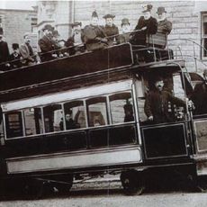
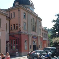
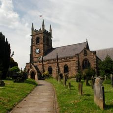
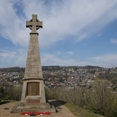
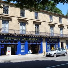
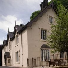
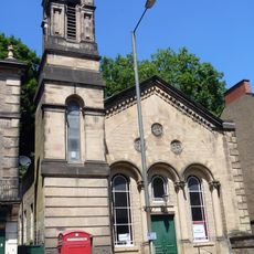
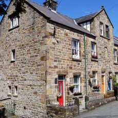
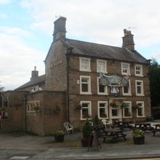
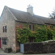
Matlock Town, civil parish in Derbyshire Dales, Derbyshire, England
Location: Derbyshire Dales
Shares border with: Darley Dale, South Darley, Bonsall, Matlock Bath, Tansley, Ashover, Cromford, Dethick, Lea and Holloway
Address: Matlock DE4, UK DE4 Matlock
GPS coordinates: 53.14196,-1.55058
Latest update: June 10, 2025 09:57
Riber Castle
1.7 km
Gulliver's Kingdom Resort
2.8 km
Masson Mill
3.3 km
County Hall
106 m
Matlock Cable Tramway
212 m
Grand Pavilion, Matlock Bath
2.6 km
St John the Baptist's Chapel, Matlock Bath
1.4 km
Peak District Mining Museum
2.6 km
Church of St Giles
868 m
Derwent House, Matlock
806 m
St James the Apostle's Church, Bonsall
3.3 km
Matlock Town Hall
355 m
Church of Holy Trinity
2.8 km
Church of All Saints
370 m
Holy Trinity Church, Tansley
2.2 km
Matlock Bath War Memorial
2.3 km
Matlock Bridge
587 m
Pic Tor War Memorial
905 m
64-70, North Parade
2.4 km
High Tor Hotel
1.5 km
Methodist Church
2.3 km
86-92, Church Street
897 m
Duke William Inn
966 m
King's Head Inn
930 m
Milestone, S of Derwent Footbridge, S of Matlock Bridge
1.1 km
Mile Stone
2.2 km
148, North Parade
2.5 km
Hodgkinson's Hotel
2.5 kmReviews
Visited this place? Tap the stars to rate it and share your experience / photos with the community! Try now! You can cancel it anytime.
Discover hidden gems everywhere you go!
From secret cafés to breathtaking viewpoints, skip the crowded tourist spots and find places that match your style. Our app makes it easy with voice search, smart filtering, route optimization, and insider tips from travelers worldwide. Download now for the complete mobile experience.
A unique approach to discovering new places❞
— Le Figaro
All the places worth exploring❞
— France Info
A tailor-made excursion in just a few clicks❞
— 20 Minutes