
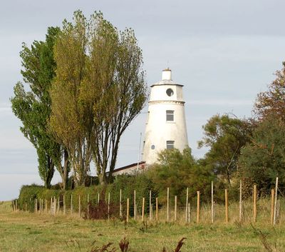
East Bank Lighthouse, lighthouse in South Holland, England
Location: Sutton Bridge
Inception: 1830s
Height: 18 m
GPS coordinates: 52.80830,0.21369
Latest update: March 6, 2025 04:04

Outer Trial Bank
4.2 km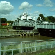
Crosskeys Bridge
4.8 km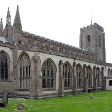
St Peter's Church, Walpole St Peter
8.9 km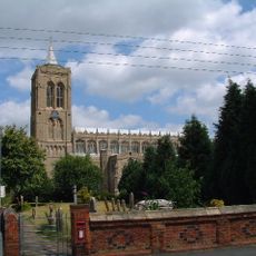
St Mary Magdalene Church, Gedney
9.1 km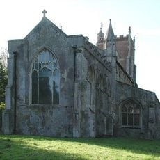
St Andrew's Church, Walpole
8.2 km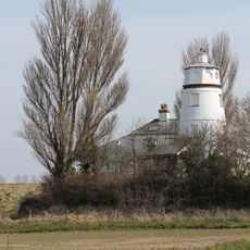
West Bank Lighthouse
198 m
Church of St Matthew
4.7 km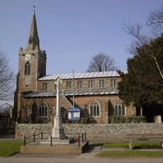
Church of St Nicholas
6 km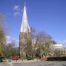
Church of St Mary
6.7 km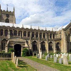
Church of Saint Clement
7.9 km
Christ Church
6.7 km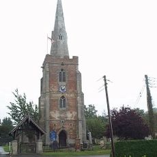
Church of St Mary
8.5 km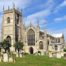
Tower to Church of Saint Clement
7.9 km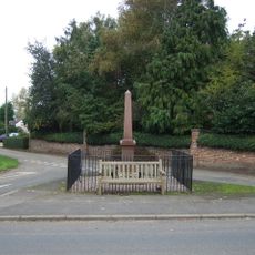
Gedney Dyke War Memorial
8.1 km
Walpole St Andrew War Memorial
8.2 km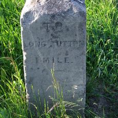
Milestone Opposite Yew Cottage
6.6 km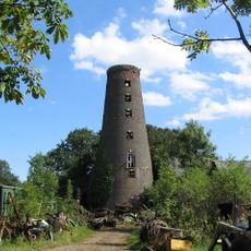
Seadike Mill
7.8 km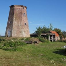
Sneaths Mill
5.9 km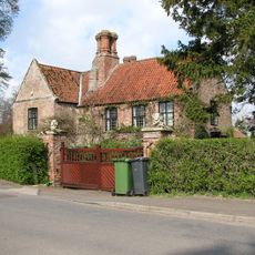
Dovecot Farmhouse
8.9 km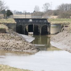
Footbridge, Road Bridge And Sluices
8 km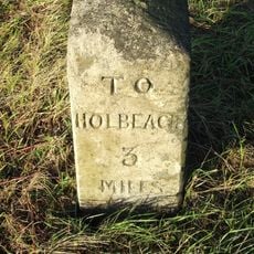
Milestone
8.7 km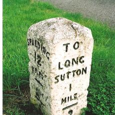
Milestone
7.5 km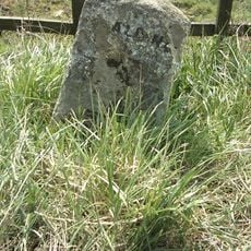
Milestone
4.9 km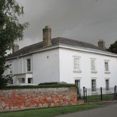
Lutton House
6 km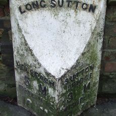
Milepost, London Road, outside churchyard
6.6 km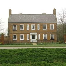
Garnsgate Hall With Wall And Railings
8 km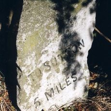
Milestone, Sutton Road, opp. No. 119
6.1 km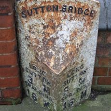
Milepost, Bridge Road, by No. 67
4.7 kmReviews
Visited this place? Tap the stars to rate it and share your experience / photos with the community! Try now! You can cancel it anytime.
Discover hidden gems everywhere you go!
From secret cafés to breathtaking viewpoints, skip the crowded tourist spots and find places that match your style. Our app makes it easy with voice search, smart filtering, route optimization, and insider tips from travelers worldwide. Download now for the complete mobile experience.

A unique approach to discovering new places❞
— Le Figaro
All the places worth exploring❞
— France Info
A tailor-made excursion in just a few clicks❞
— 20 Minutes