
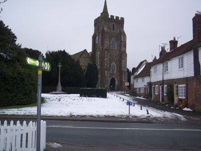
Parish Church of St Mary, church in Rolvenden, Kent, United Kingdom
Location: Rolvenden
Inception: 14 century
GPS coordinates: 51.05070,0.63108
Latest update: March 5, 2025 19:21
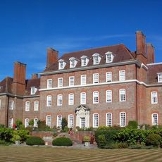
Great Maytham Hall
680 m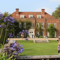
Hole Park
1.8 km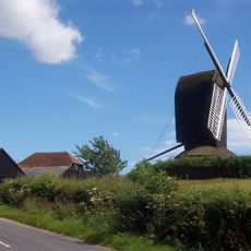
Rolvenden Windmill
751 m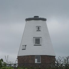
Beacon Mill
2.7 km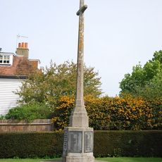
Rolvenden War Memorial
40 m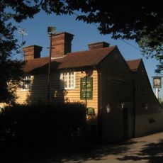
The Woodcock Public House
3.9 km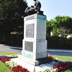
Benenden War Memorial
3.9 km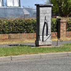
Village Pump Opposite No 29
214 m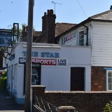
The Star Public House
202 m
8-22, Hastings Road
50 m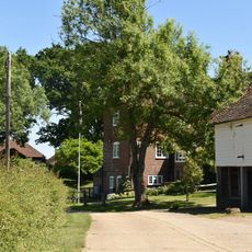
Maplesden
2.2 km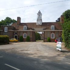
Gatehouse To Great Maytham
621 m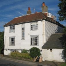
2, 4 And 6, Hastings Road
49 m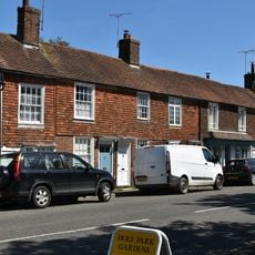
45-55, High Street
286 m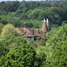
Rawlinson Farmhouse
1.5 km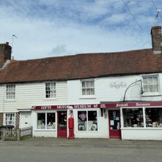
63-73, High Street
324 m
2 And 4, High Street
80 m
59 And 61, High Street
311 m
Kingpost
372 m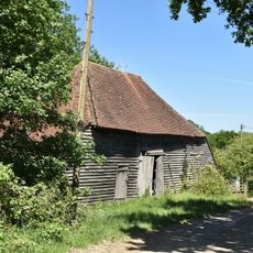
Barn And Oasthouse At Mount Hall Farm
3.1 km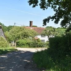
Mount Hall Farmhouse
3.1 km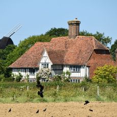
Saxbys
550 m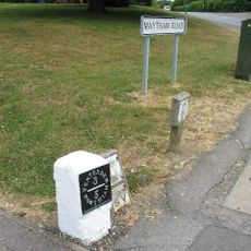
Milestone, Maytham Road, N of church
76 m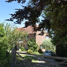
Mount Le Hoe
3 km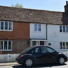
2 And 4, Regent Street
337 m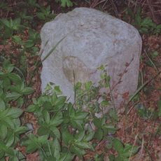
Milestone, Hastings Road, N of jct with Wassall Lane
1.6 km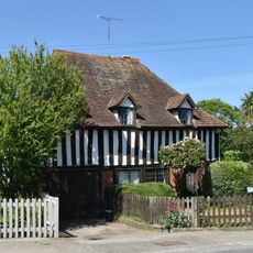
The Forge
341 m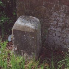
Milestone, Tenterden Road, (Strood Hamlet), W of Strood Cottage
1.3 kmVisited this place? Tap the stars to rate it and share your experience / photos with the community! Try now! You can cancel it anytime.
Discover hidden gems everywhere you go!
From secret cafés to breathtaking viewpoints, skip the crowded tourist spots and find places that match your style. Our app makes it easy with voice search, smart filtering, route optimization, and insider tips from travelers worldwide. Download now for the complete mobile experience.

A unique approach to discovering new places❞
— Le Figaro
All the places worth exploring❞
— France Info
A tailor-made excursion in just a few clicks❞
— 20 Minutes