
Hadrian's Wall and vallum between Sunnybrae at Halton Shields and Haltonchesters Roman fort in wall miles 20 and 21
Hadrian's Wall and vallum between Sunnybrae at Halton Shields and Haltonchesters Roman fort in wall miles 20 and 21, archaeological site in Whittington, Northumberland, England, UK
Location: Whittington
Part of: Hadrian's Wall, borders of the Roman Empire
GPS coordinates: 55.01150,-1.99008
Latest update: March 8, 2025 17:30

Matfen Hall
3.9 km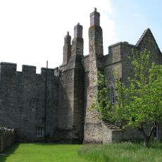
Aydon Castle
2.3 km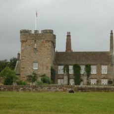
Halton Castle
1.2 km
Hunnum
1 km
Portgate
2 km
Milecastle 22
1.8 km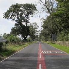
Milecastle 19
2.6 km
Milecastle 20
1.2 km
Milecastle 23
3.2 km
Milecastle 21
303 m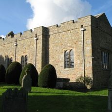
Halton Church
1.2 km
Church of the Holy Trinity
4 km
Chapel Of St Aidan
3.1 km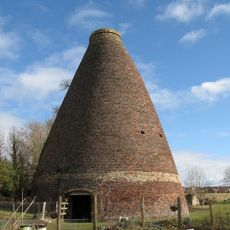
Walkers Pottery West Bottle Kiln
3.7 km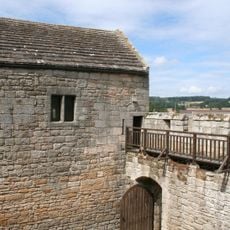
Outer Bailey Walls And Attached Farmbuildings
2.3 km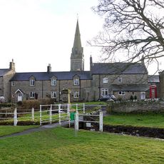
Drinking Fountain 20 Yards North East Of Post Office
4 km
The Stob Stone
3.2 km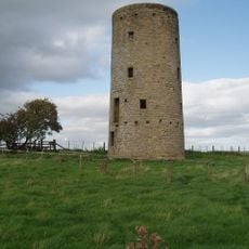
Windmill C 100 Yards West Of Whittington Mill
1.9 km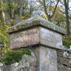
Milepost Pier 20 Yards West Of Great Whittington Road End
3.8 km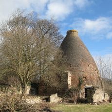
Walkers Pottery: East Bottle Kiln
3.6 km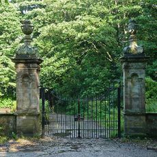
Gates, Gatepiers And Screen Walls To West Of Matfen Hall
3.7 km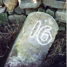
Milestone 440 Metres East Of Portgate Roundabout
1.6 km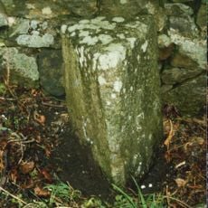
Milestone At Ny 98486585
3.5 km
Milestone, 60m W of jct to Aydon
2.8 km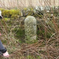
Milestone, E of Halton Shields
1.6 km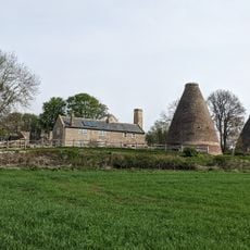
Kilns, Corbridge pottery
3.6 km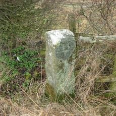
Milestone, Kip Hill, Shildon
2.4 km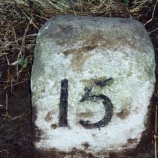
Milestone, Halton Red House, east of Down Hill
84 mReviews
Visited this place? Tap the stars to rate it and share your experience / photos with the community! Try now! You can cancel it anytime.
Discover hidden gems everywhere you go!
From secret cafés to breathtaking viewpoints, skip the crowded tourist spots and find places that match your style. Our app makes it easy with voice search, smart filtering, route optimization, and insider tips from travelers worldwide. Download now for the complete mobile experience.

A unique approach to discovering new places❞
— Le Figaro
All the places worth exploring❞
— France Info
A tailor-made excursion in just a few clicks❞
— 20 Minutes