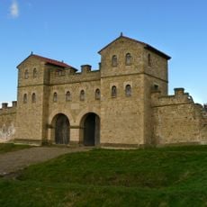
Hunnum, Roman fort in Northumberland, England
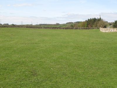
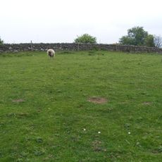
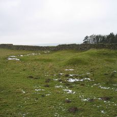
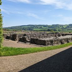
Hunnum is a Roman fort in northern England positioned along Hadrian's Wall, displaying the characteristic rectangular layout with gates facing the cardinal directions. The site contains earthworks marking the locations of barracks, supply buildings, and administrative structures arranged in typical Roman military fashion.
Emperor Hadrian ordered construction of this post in the early 2nd century as part of his ambitious defensive line across the north. The location served for several centuries afterward as a key military installation on the frontier.
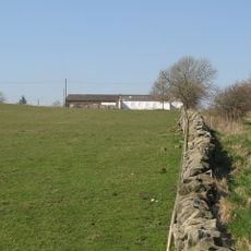
The fort's layout remains recognizable today as a rectangular earthwork, though little stone survives above ground to show daily garrison life. Different military units occupied this location across the centuries, each leaving their mark on how the space functioned.
You can walk around the earthworks from multiple angles and explore the site on foot. It helps to carry a site guide or map to understand how the various military structures relate to what you see in the ground.
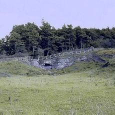
This location stood out for its heated bathing complex positioned inside the fort walls, a feature rarely found in Roman military camps. Most garrisons built their baths outside the defensive perimeter, making this arrangement a notable departure from standard practice.
The community of curious travelers
AroundUs brings together thousands of curated places, local tips, and hidden gems, enriched daily by 60,000 contributors worldwide.