
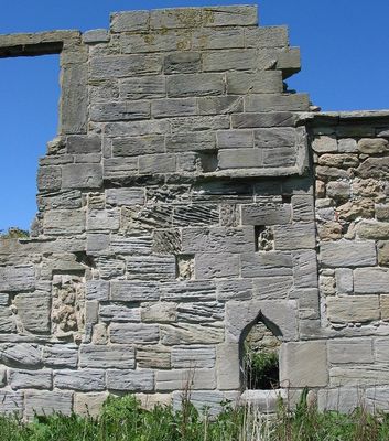
Low Chibburn medieval preceptory, 16th century house and World War II pillbox
Low Chibburn medieval preceptory, 16th century house and World War II pillbox, archaeological site in Widdrington Village, Northumberland, England, UK
Location: Widdrington Village
GPS coordinates: 55.26230,-1.58306
Latest update: March 14, 2025 11:03
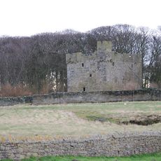
Cresswell Castle
4.2 km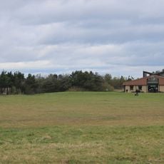
Druridge Bay Country Park
3.6 km
Eshott Hall
6.5 km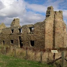
Chibburn Preceptory
3 m
Church of St Bartholomew
4.1 km
Church of the Holy Trinity
1.4 km
Church of St John the Baptist
5.1 km
St Aidan Lynemouth
6.2 km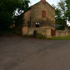
Togston House
6.4 km
Parish church of St. John the Divine Chevington
3.6 km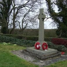
Ulgham War Memorial
5.1 km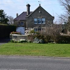
Fenham House
4.1 km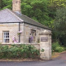
Gate Lodge To Togston Hall
6.3 km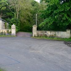
Entrance Screen To Togston Hall
6.3 km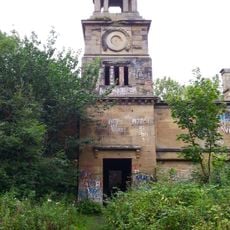
Stable Block Of Former Cresswell Hall
4.2 km
Hadston House Library
3.7 km
Milestone 30 Metres South Of Entrance East Moor Farm
5.6 km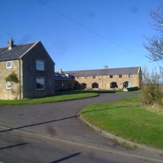
Farm Buildings And Attached Yard Walls To North East Of Druridge Farmhouse
1.1 km
Togston Hall (northern Area Office Of British Coal Opencast Executive)
6.3 km
Entrance Screen And Front Wall To Togston House
6.4 km
Boundary Wall To East Of Cresswell Tower
4.2 km
Roadside Wall From Parish Church To Old School House
4.1 km
Old School House
4.1 km
Village Cross
5.4 km
Widdrington War Memorial
1.4 km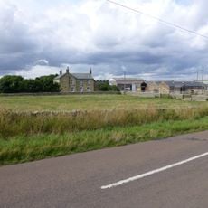
Hemscott Hill Farmhouse
2.1 km
Druridge Farmhouse
1.1 km
Dovecote 100 Metres North West Of Togston House
6.4 kmReviews
Visited this place? Tap the stars to rate it and share your experience / photos with the community! Try now! You can cancel it anytime.
Discover hidden gems everywhere you go!
From secret cafés to breathtaking viewpoints, skip the crowded tourist spots and find places that match your style. Our app makes it easy with voice search, smart filtering, route optimization, and insider tips from travelers worldwide. Download now for the complete mobile experience.

A unique approach to discovering new places❞
— Le Figaro
All the places worth exploring❞
— France Info
A tailor-made excursion in just a few clicks❞
— 20 Minutes