Egmere medieval settlement, Archaeological site in Walsingham, England.
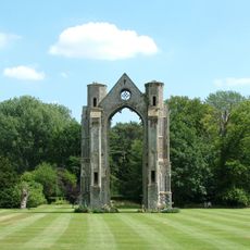
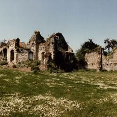
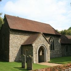
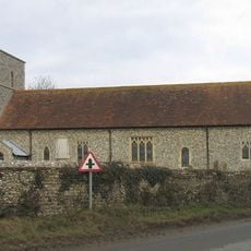
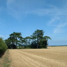
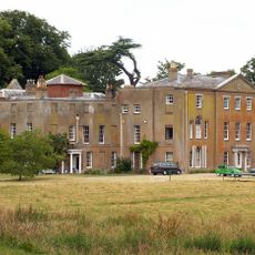
Egmere medieval settlement is an archaeological site in Norfolk containing three distinct areas with visible and buried remains of a medieval community. The site includes church ruins, manor house foundations, and medieval field enclosures that follow the contours of the local valley.
The settlement was an established community in 1334 with recorded taxpayers living there, but gradually declined over the following centuries. By 1603 it had shrunk to a single household, reflecting the major social and economic shifts of the medieval period.
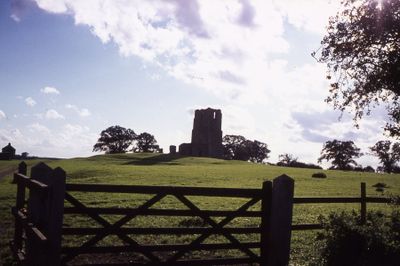
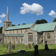
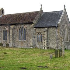
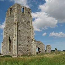
The remains of St Edmund's Church on a raised mound show how medieval Norfolk communities positioned their religious buildings within settlements. This elevated placement reflects the importance that the church held in the daily life of local people.
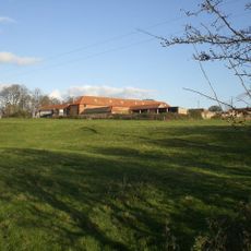
The site spreads across both sides of a minor road linking nearby villages, with clear pathways guiding visitors through the different areas. No special equipment is needed to explore the visible remains and landscape features on foot.
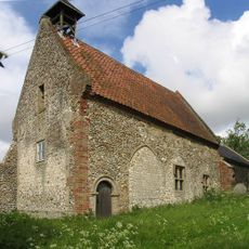
The site contains an extensive network of medieval fishponds and water management structures that reveal how residents controlled water across the valley. These engineering features demonstrate the practical knowledge that local people applied to food production and land use.
The community of curious travelers
AroundUs brings together thousands of curated places, local tips, and hidden gems, enriched daily by 60,000 contributors worldwide.