Walsingham, Religious pilgrimage village in North Norfolk, England
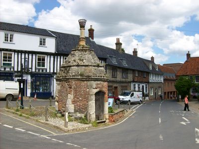
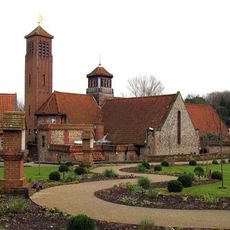
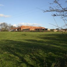
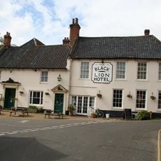
Walsingham is a village with medieval and Georgian buildings situated along the River Stiffkey. Its streets display various historical architecture side by side, with chapels and older houses forming the character of the place.
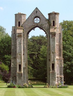
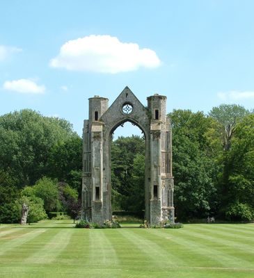
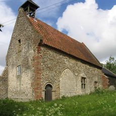
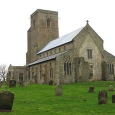
The village began in the 11th century following a religious vision that led to the construction of a sacred replica. It has remained a pilgrimage destination and maintained its religious importance across the centuries.
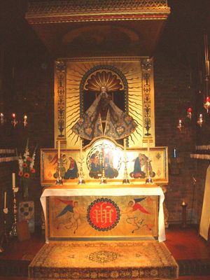
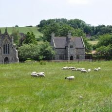
The shrine and chapel draw people seeking spiritual connection throughout the year. The place holds deep meaning for those practicing their faith and maintaining traditions of pilgrimage.
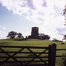
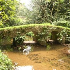
A narrow gauge railway connects the village to a nearby coastal town, offering a historic travel experience. Paths for exploration are walkable and run alongside the river for easier navigation.
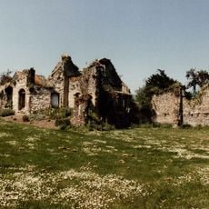
The village contains a historic public toilet building and a church powered without fossil fuels. These unexpected details show how the place balances modern values with historical tradition.
Location: North Norfolk
GPS coordinates: 52.89385,0.87357
Latest update: December 14, 2025 19:42
Pilgrimage routes in Europe have been crossing the continent for centuries. They lead travelers to quiet places for reflection and prayer. Medieval paths like the Camino de San Salvador cross mountains and connect cathedrals in Spain. The Via Francigena goes from Canterbury to Rome, passing through...
Anglican Shrine of Our Lady of Walsingham
185 m
Slipper Chapel
2 km
Walsingham Priory
139 m
Church of St Mary and All Saints
338 m
Egmere medieval settlement
3.9 km
Walsingham Friary
223 m
Waterden medieval settlement remains
4.7 km
Roman Catholic National Shrine of Our Lady
2 km
Church of St Giles
1.8 km
Church of All Saints
5 km
Church of All Saints and St Peter
875 m
2 and 4, Church Street
191 m
Methodist Chapel
164 m
3, Church Street
214 m
Ruins of All Saints and St Marys Church
1.1 km
Bull Inn
91 m
Cottage Annexe Adjoining No 2 To North East (Now Part Of No2) The Knights Gate Hotel And Retaurant
222 m
Black Lion Hotel
83 m
The Abbey Boundary Wall South West Of The Abbey Along Church Street Between No3 Church Street And No 2 High Street
196 m
Oxford Stores Public House
77 m
Post Office
83 m
Premises Occupied By C Bacon And Sons (Blacksmiths)
1.3 km
32A, Knight Street
256 m
Barn Immediately North Of North Wing To The College Of Clergy
219 m
Bridge And Lodge Over Path Linking Lodge Plantation With The Abbey Grounds
369 m
Waterden House
4.7 km
Pack Horse Bridge North East of the Abbey in Abbey Grounds
227 m
Ruins of Church of St Edmund
3.8 kmVisited this place? Tap the stars to rate it and share your experience / photos with the community! Try now! You can cancel it anytime.
Discover hidden gems everywhere you go!
From secret cafés to breathtaking viewpoints, skip the crowded tourist spots and find places that match your style. Our app makes it easy with voice search, smart filtering, route optimization, and insider tips from travelers worldwide. Download now for the complete mobile experience.
A unique approach to discovering new places❞
— Le Figaro
All the places worth exploring❞
— France Info
A tailor-made excursion in just a few clicks❞
— 20 Minutes