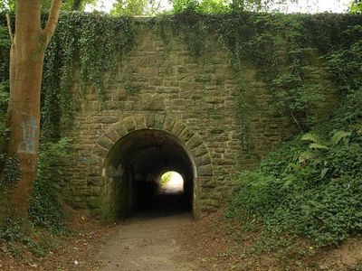
Efford Fort, Military fort in City of Plymouth, England.
Efford Fort is a military fortification in Plymouth with earthworks and gun emplacements designed for artillery defense. It sits on Military Road in the Efford district and displays the typical structure of coastal forts from that period.
The fort was built between 1863 and 1869 as part of the Palmerston Forts initiative and played a key role in Plymouth's coastal defense system. This period saw Britain upgrading its coastal fortifications with new designs and technology.
The fort shows how Victorian military planners thought about coastal defense in the 1800s. You can see the choices they made about where to place guns and how to protect the shoreline.
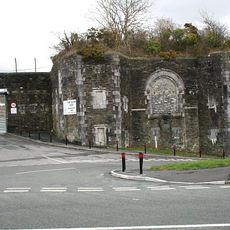
Access to the fort is currently restricted due to its deteriorating condition, with parts used for seasonal accommodation and storage. Check ahead about current visiting rules, as conditions can change depending on what is happening at the site.
The fort battles water damage and vegetation growth that gradually harm its structures. Despite these challenges, it remains an important monument to Victorian military history.
Location: City of Plymouth
Inception: 1863
GPS coordinates: 50.39030,-4.09201
Latest update: December 14, 2025 18:20
Saltram House
1.2 km
Plym Valley Railway
844 m
Laira Traction Maintenance Depot
1.3 km
Plymbridge Woods
2.2 km
Fort Austin
1.3 km
Laira Bridge
2.6 km
Bowden Battery
2.5 km
Church of St Simon
2.3 km
Church of St Mary Blessed Virgin
2.4 km
Church of St Mary
1.1 km
Church of St Edward King of the West Saxons
2 km
Church of Emmanuel
2.7 km
Chapel At Saltram House
1.1 km
Plympton Library
2.6 km
Efford Library
1.3 km
Estover Library
2.4 km
Stag Lodge, Including Inner And Outer Gate Piers To Saltram House
2.3 km
Plym Bridge
2.3 km
Amphitheatre In Grounds Of Saltram House
947 m
Gate Piers Approximately 550 Metres South East Of Saltram House
1.7 km
Lodges At Lipson Terrace
2.7 km
Garden Temple (known As Fannys Bower) In Grounds Of Saltram House
987 m
Lee Moor Tramway Bridge
657 m
Gardenhouse At Saltram House
918 m
Orangery at Saltram House
1 km
Stable Block At Saltram House
1.3 km
Milestone, top of Lipson Road, opp. Queens Road
2.6 km
Milestone, Laira Bridge Road, by No. 56 and 58 flats, opp. the rear of Prince Rock Primary School
2.8 kmVisited this place? Tap the stars to rate it and share your experience / photos with the community! Try now! You can cancel it anytime.
Discover hidden gems everywhere you go!
From secret cafés to breathtaking viewpoints, skip the crowded tourist spots and find places that match your style. Our app makes it easy with voice search, smart filtering, route optimization, and insider tips from travelers worldwide. Download now for the complete mobile experience.
A unique approach to discovering new places❞
— Le Figaro
All the places worth exploring❞
— France Info
A tailor-made excursion in just a few clicks❞
— 20 Minutes