
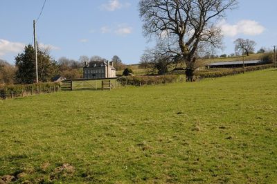
Stone House, Gladestry, building in Gladestry, United Kingdom
Location: Gladestry
Elevation above the sea: 246.8 m
GPS coordinates: 52.18340,-3.11870
Latest update: March 6, 2025 18:49
Huntington Castle
1.4 km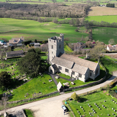
Parish Church of St Stephen
4.8 km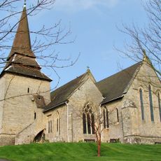
Church of St Mary
6 km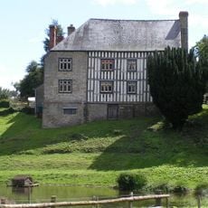
Hergest Court
4.6 km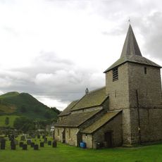
St Mary's Church
819 m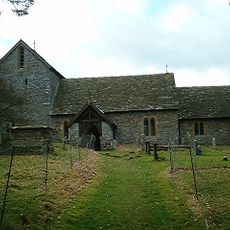
Church Of St Michael
4 km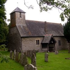
Church of St. Thomas of Canterbury
1.7 km
Church Of St David, Colva
3.9 km
Church of St Mary, Newchurch
4.3 km
Church of St.mary
5.8 km
Yardro Chapel
4.6 km
Newchurch Hill
5.5 km
Harpton Court
5.3 km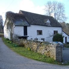
Parkstile Mill
3.3 km
Great House including former barn range attached to right, Newchurch
4.3 km
Huntington Post Office And Outbuilding Adjoining South
1.6 km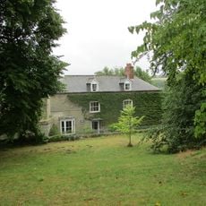
Church House And Attached Wall
6 km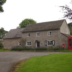
K6 Telephone Kiosk Adjacent To The Old Post Office
1.6 km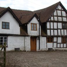
Apostles Farmhouse
5.3 km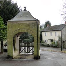
Lychgate, Churchyard Of Church Of St Mary
6 km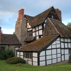
Cwmmau Farmhouse And Adjoining Cowhouse
5.3 km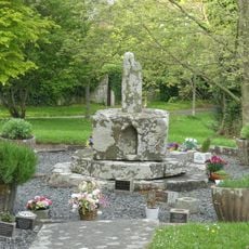
Churchyard cross in St Mary the Virgin's churchyard
6 km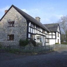
Empton Farmhouse
3.9 km
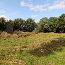
Remains Of Huntington Castle
1.4 km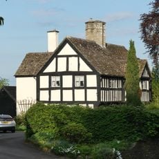
The Porch House
6.2 km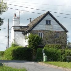
Corner House, A4594 (N Side) Gladestry
780 m
Lower House Farmhouse
1.7 km
The Wych Wych House
5.9 kmVisited this place? Tap the stars to rate it and share your experience / photos with the community! Try now! You can cancel it anytime.
Discover hidden gems everywhere you go!
From secret cafés to breathtaking viewpoints, skip the crowded tourist spots and find places that match your style. Our app makes it easy with voice search, smart filtering, route optimization, and insider tips from travelers worldwide. Download now for the complete mobile experience.

A unique approach to discovering new places❞
— Le Figaro
All the places worth exploring❞
— France Info
A tailor-made excursion in just a few clicks❞
— 20 Minutes