Marshall Meadows Bay, Coastal bay in Northumberland, England.
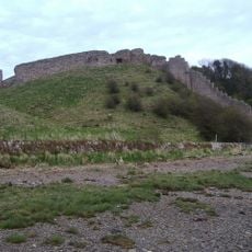
Marshall Meadows Bay is a coastal bay in Northumberland featuring sheer cliffs that rise approximately 50 meters (164 feet) above the water. Two small caves and a rock tunnel near Marshall Meadows Point provide additional features of geological interest along the shoreline.
The Treaty of Fotheringhay in 1482 established this location as the border between England and Scotland, ending centuries of territorial conflict over the region. The agreement marked a turning point in the disputes that had shaped control of the northern English coast.
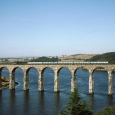
The location sits along the Berwickshire Coastal Path, a walking route that connects nearby communities and attracts visitors interested in observing coastal wildlife throughout the year. People come here to experience the open clifftop landscape and the rhythm of daily outdoor exploration along the shore.
The location is accessible by public bus service, with regular stops at New East Farm a short walk away. From there, visitors can easily reach the clifftop paths and explore the bay on foot.
This location marks the northernmost point of England and sits geographically closer to Stavanger, Norway, than to Land's End in Cornwall. The position offers visitors an unusual perspective on the country's geography and remote northern reaches.
The community of curious travelers
AroundUs brings together thousands of curated places, local tips, and hidden gems, enriched daily by 60,000 contributors worldwide.