Offcote and Underwood, civil parish in Derbyshire Dales district, Derbyshire, England
Location: Derbyshire Dales
Shares border with: Kniveton, Mapleton, Clifton and Compton, Ashbourne, Bradley, Fenny Bentley
GPS coordinates: 53.02442,-1.70515
Latest update: March 3, 2025 09:30

The Green Man And Black's Head Hotel, Attached Inn Sign Bridging Road
2 km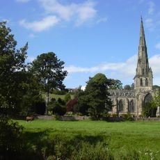
St Oswald's Church, Ashbourne
2.3 km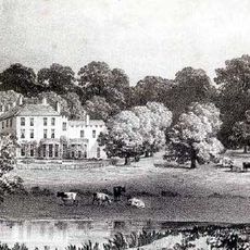
Ashbourne Hall
1.6 km
Callow Hall
2.9 km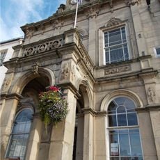
The Town Hall
1.9 km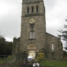
Church of St John With Street Railings, Gates, Piers And Front Steps
1.9 km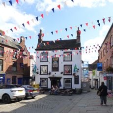
Ye Olde Vaults
2 km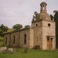
Church of St Mary
3.3 km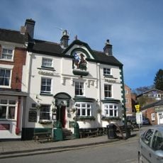
George And Dragon Public House
2 km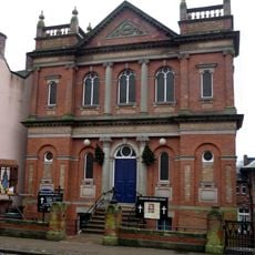
Ashbourne Methodist Church
2.2 km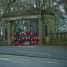
War Memorial Arch to Park
1.8 km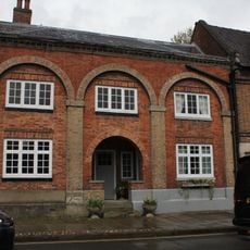
59, Church Street
2.3 km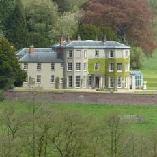
Sandybrook Hall
2.1 km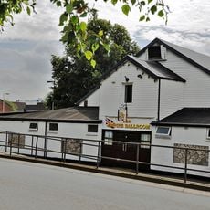
Empire Ballroom
2.2 km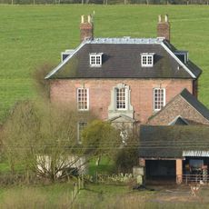
Manor House
3.5 km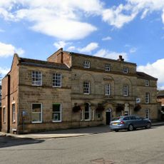
Lloyds Bank
2 km
Okeover Bridge
3.6 km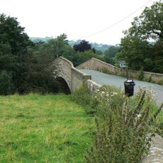
Okeover Bridge
3.6 km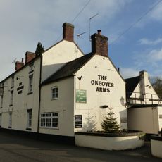
Okeover Arms Public House
3.4 km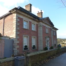
Okeover Almshouses
3.4 km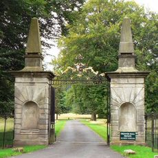
Outer gates and gate piers to Okeover Hall
3.8 km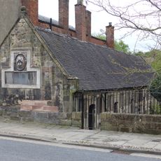
Pegg's Almshouses
2.3 km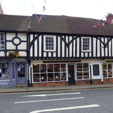
Ashbourne Gingerbread Shop
2 km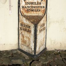
Milestone
1.9 km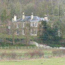
Hinchleywood
3.4 km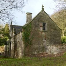
Stables to Callow Hall
2.8 km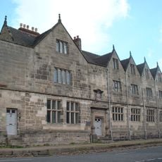
Old Grammar School
2.4 km
Ashbourne Library
2 kmVisited this place? Tap the stars to rate it and share your experience / photos with the community! Try now! You can cancel it anytime.
Discover hidden gems everywhere you go!
From secret cafés to breathtaking viewpoints, skip the crowded tourist spots and find places that match your style. Our app makes it easy with voice search, smart filtering, route optimization, and insider tips from travelers worldwide. Download now for the complete mobile experience.

A unique approach to discovering new places❞
— Le Figaro
All the places worth exploring❞
— France Info
A tailor-made excursion in just a few clicks❞
— 20 Minutes