
Milton Keynes, civil parish in Milton Keynes, Buckinghamshire, England
Location: City of Milton Keynes
GPS coordinates: 52.04997,-0.70535
Latest update: March 24, 2025 01:44
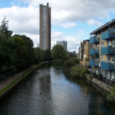
Grand Union Canal
2 km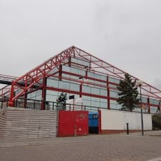
The Point
3.6 km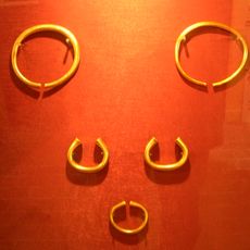
Milton Keynes Hoard
1.7 km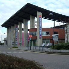
Milton Keynes Theatre
3.1 km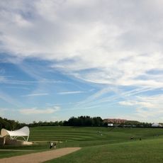
Campbell Park
2.6 km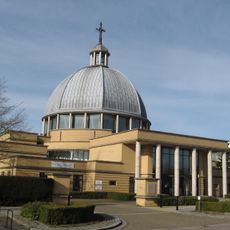
Church of Christ the Cornerstone
3.9 km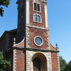
Church of St Mary Magdalene
1.7 km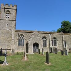
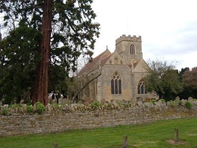
St Lawrence's Church, Broughton
567 m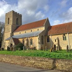
Church of St Mary
3.5 km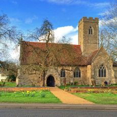
Church of St Thomas, Simpson
3.7 km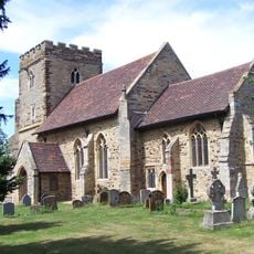
Church of St Mary
2.5 km
Church of All Saints
696 m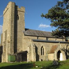
Church of St Mary
2.6 km
Willen Lake
1.1 km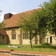
Holy Trinity Church
1.4 km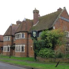
Carrington Arms Public House
3.1 km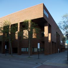
Milton Keynes Central Library
3.8 km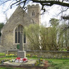
Simpson War Memorial Obelisk
3.7 km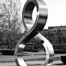
Octo
4 km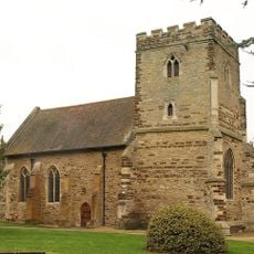
St Michael's Church Of The Open University
3 km
Walton Hall At The Open University
2.8 km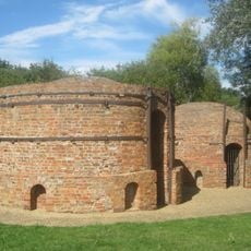
Great Linford Brickworks
3.4 km
Shopping Building
3.5 km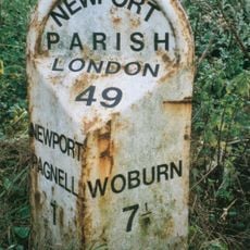
Milepost, London Road; S of Newport Stables, and 300m S of Tickford island (jct with A422)
2.7 km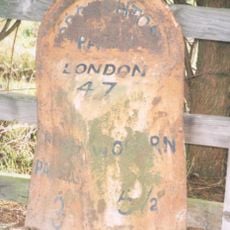
Milepost, Newport Road: outside Broughton Manor, opp Broughton Ground Lane
1.1 km
Tesco Extra
2 km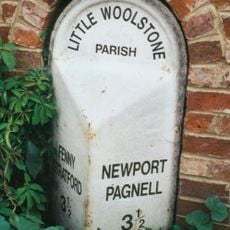
Milepost, Newport Road; Woolstone at jct with Cleobury Paddock, next to Cleobury Farm (in a housing estate)
1.6 km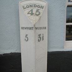
Milepost, Newport Road; by The Wavenden Arms (formally Leathern Bottle) PH
3.6 kmVisited this place? Tap the stars to rate it and share your experience / photos with the community! Try now! You can cancel it anytime.
Discover hidden gems everywhere you go!
From secret cafés to breathtaking viewpoints, skip the crowded tourist spots and find places that match your style. Our app makes it easy with voice search, smart filtering, route optimization, and insider tips from travelers worldwide. Download now for the complete mobile experience.

A unique approach to discovering new places❞
— Le Figaro
All the places worth exploring❞
— France Info
A tailor-made excursion in just a few clicks❞
— 20 Minutes