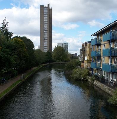
Grand Union Canal, Navigation canal in Leicestershire, England.
The Grand Union Canal is a waterway that winds through Leicestershire, Buckinghamshire, Berkshire, Warwickshire, Northamptonshire and Hertfordshire, connecting towns and countryside across central England. The Leicester Line runs for 66 kilometers through gentle hills and climbs through 41 locks to meet the River Soar, with the channel accommodating vessels up to 22 meters long and just over 2 meters wide.
The Grand Junction Canal Company purchased the Leicester Line in 1894, joining the Leicestershire & Northamptonshire Union Canal with the original Grand Union Canal into one continuous system. This takeover linked previously separate trading routes and allowed coal, grain and building materials to move between the industrial towns of the Midlands.
Union Wharf in Market Harborough transformed old warehouses into studios where craftspeople now work and sell their pieces in spaces that once stored grain and coal. Visitors can watch potters, jewelers and textile makers at work while the original brick walls keep the memory of the waterway's trading days alive.
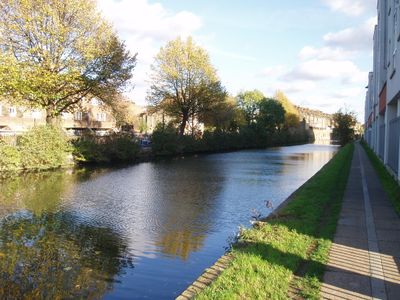
The towpath runs alongside the entire waterway and offers a level route for walkers and cyclists that alternates between villages and open fields. At the locks, steep steps lead down to the water, and narrow bridges require care when crossing in places.
At Foxton, ten consecutive locks lower boats over a considerable height, where side ponds supply the water and create habitats for herons and water voles at the same time. This arrangement saves water by letting each pond help fill the next lock instead of drawing fresh water from the upper canal.
The community of curious travelers
AroundUs brings together thousands of curated places, local tips, and hidden gems, enriched daily by 60,000 contributors worldwide.