
Edlaston and Wyaston, civil parish in Derbyshire Dales district, Derbyshire, England
Location: Derbyshire Dales
Shares border with: Osmaston, Clifton and Compton, Snelston, Yeaveley, Rodsley, Shirley
GPS coordinates: 52.98100,-1.73100
Latest update: March 11, 2025 01:22
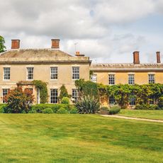
Yeldersley Hall, Derbyshire
3.1 km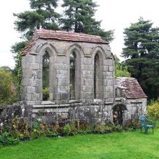
Yeaveley Preceptory
2.9 km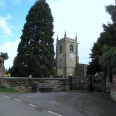
Church of St Michael
3.9 km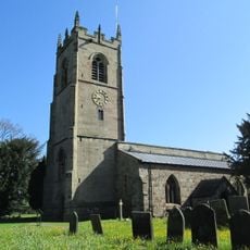
St John the Baptist's Church, Mayfield
3.5 km
Church of St Martin
2.2 km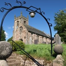
Church of St Peter
2.7 km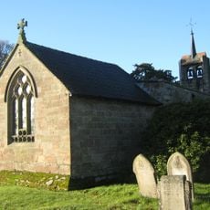
Church of St James
42 m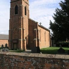
Holy Trinity Church
2.4 km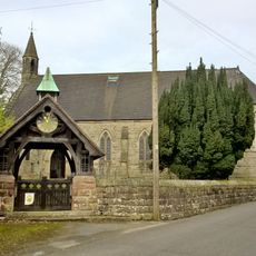
Church of the Holy Trinity
2.7 km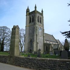
War Memorial South West of Church of St Martin
2.2 km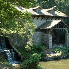
Saw Mill
2.6 km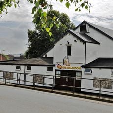
Empire Ballroom
3.8 km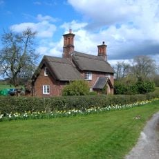
Park View Cottage
2.2 km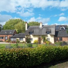
Thatched Cottage
3.8 km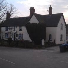
The Saracen's Head Public House
3.8 km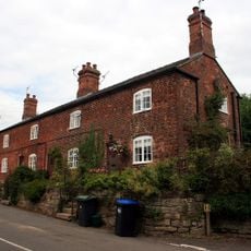
Terrace of three cottages opposite the Saracen's Head pub
3.9 km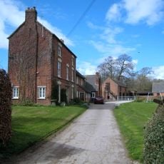
Shirley Mill Farmhouse
3.6 km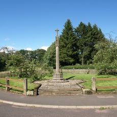
Snelston War Memorial
3.1 km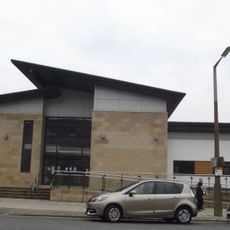
Ashbourne Library
3.9 km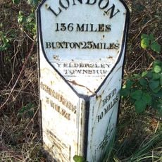
Mile Post At Os 212435
3.1 km
Tinker's Inn bowl barrow, south
1.7 km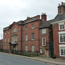
The Mansion Including Coach House Wall
3.9 km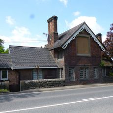
Old Tollhouse
2.9 km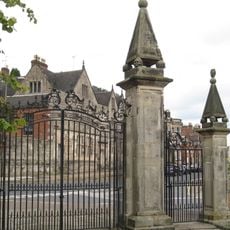
Churchyard Gate Piers And Gates To The Parish Church Of St Oswald
3.9 km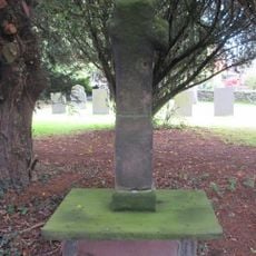
Cross Approximately 15 Yards South Of South Aisle Of Church Of St John Baptist
3.4 km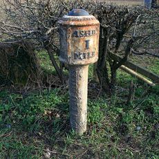
Mile Post South Of Buckholme Ngr 166 458
3.5 km
Two bowl barrows at Osmaston Fields, north
2.1 km
Wyaston hlaew
1.2 kmReviews
Visited this place? Tap the stars to rate it and share your experience / photos with the community! Try now! You can cancel it anytime.
Discover hidden gems everywhere you go!
From secret cafés to breathtaking viewpoints, skip the crowded tourist spots and find places that match your style. Our app makes it easy with voice search, smart filtering, route optimization, and insider tips from travelers worldwide. Download now for the complete mobile experience.

A unique approach to discovering new places❞
— Le Figaro
All the places worth exploring❞
— France Info
A tailor-made excursion in just a few clicks❞
— 20 Minutes