Sixpenny Handley and Pentridge, civil parish in Dorset, England
The community of curious travelers
AroundUs brings together thousands of curated places, local tips, and hidden gems, enriched daily by 60,000 contributors worldwide.
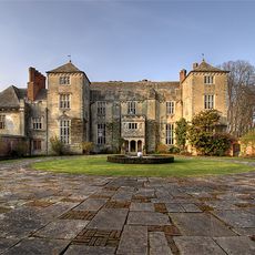
Cranborne Manor
5.8 km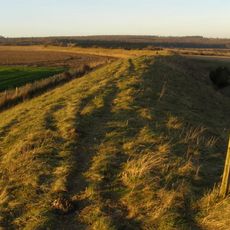
Bokerley Dyke
3.2 km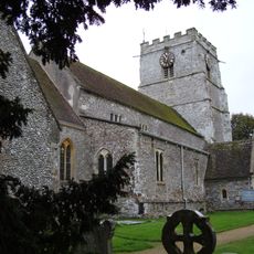
Cranborne Priory
5.9 km
Wor Barrow and two bowl barrows on Handley Down
283 m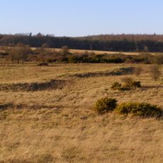
Bronze Age and Romano-British enclosure on Martin Down, east of Bokerley Junction
3.8 km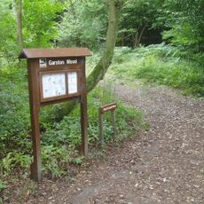
Garston Wood
2.1 km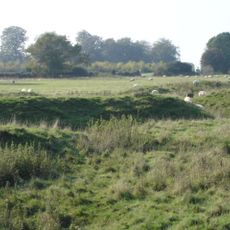
Iron Age and Romano-British settlement remains on Woodcutts Common, 850m south east and 845m SSE of Arundell Cottages
5.1 km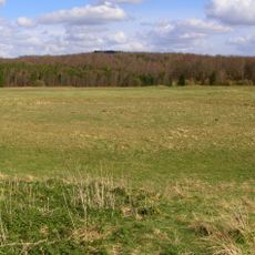
Group of round barrows on Oakley Down
512 m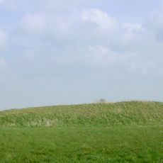
Two long barrows on Gussage Hill
4.3 km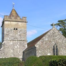
Church of Holy Trinity, Bowerchalke
5.5 km
Church of St Lawrence
6.2 km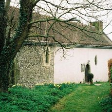
Church of St Andrew
5 km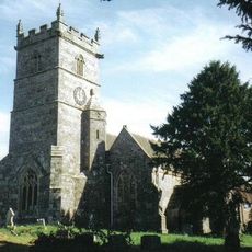
Church of St Mary
1.9 km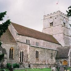
Church of St Mary and St Bartholomew
5.9 km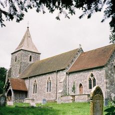
Church of St Rumbold
1.9 km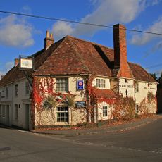
Fleur-De-Lys Inn
5.9 km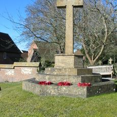
Sixpenny Handley War Memorial
1.9 km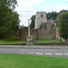
Cranborne War Memorial
5.9 km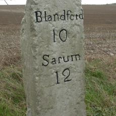
Milestone
1.2 km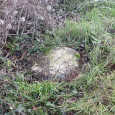
Milestone 200 Metres North East Of Martin Drove End
5.3 km
Milestone
5.9 km
Camp in Mistlebury Wood
2.7 km
Packhorse Bridge Approximately 35M South Of Ryall's Farmhouse.
6 km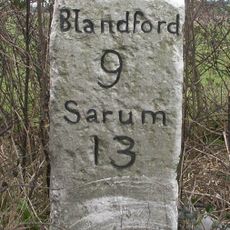
Milestone
2.8 km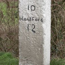
Milestone
2.1 km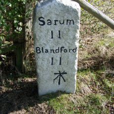
Milestone, just SW of Yew Trees Garage;
666 m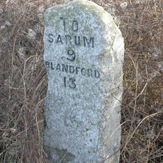
Milestone, Vernditch Chase
3.7 km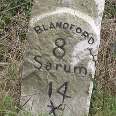
Milestone, 400m SW of entrance road to Chapel Down farm, NE of Cashmoor
4.3 kmDiscover hidden gems everywhere you go!
From secret cafés to breathtaking viewpoints, skip the crowded tourist spots and find places that match your style. Our app makes it easy with voice search, smart filtering, route optimization, and insider tips from travelers worldwide. Download now for the complete mobile experience.

A unique approach to discovering new places❞
— Le Figaro
All the places worth exploring❞
— France Info
A tailor-made excursion in just a few clicks❞
— 20 Minutes