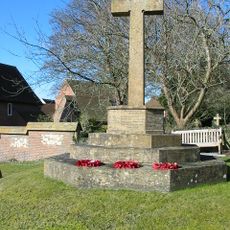
Bokerley Dyke, Archaeological earthwork in Dorset, England
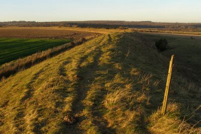
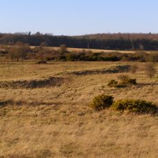
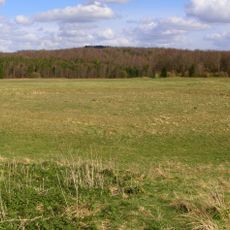
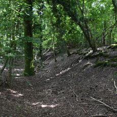
Bokerley Dyke is a linear earthwork in Dorset consisting of parallel banks and ditches that run across the landscape for several kilometers. The structure was built and modified over many centuries as different communities reinforced or adjusted these territorial boundaries.
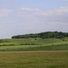
The dyke likely began in the late Iron Age and remained in use for over a thousand years, modified and maintained by Romans, Saxons, and other groups. Its persistence across so many centuries suggests it served vital purposes for successive populations.
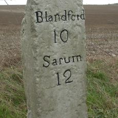
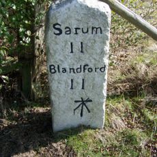
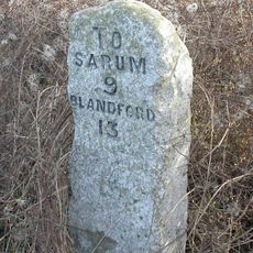
The earthwork served as a physical boundary marker between settlements, showing how communities organized their territories across generations. Walking along it today reveals how people used the landscape itself to define and protect their lands.
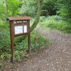
The dyke crosses working farmland and is best viewed from public footpaths that follow the ridges of the earthwork. Autumn and winter offer the clearest views when vegetation is less dense and the banks stand out more sharply.
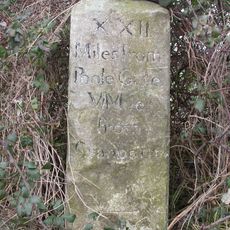
A Roman coin found during excavations suggests the site saw activity well into the post-Roman period when defensive needs were still pressing. This archaeological detail hints at how long such boundaries remained meaningful to the people living there.
The community of curious travelers
AroundUs brings together thousands of curated places, local tips, and hidden gems, enriched daily by 60,000 contributors worldwide.