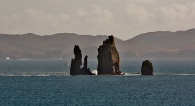
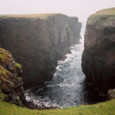
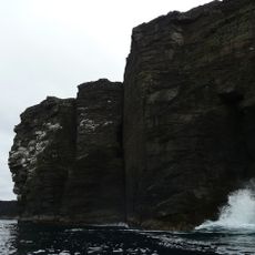
The Drongs, Granite rock formation in St Magnus Bay, Shetland Islands, Scotland
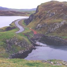
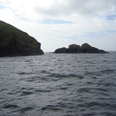
The Drongs are four granite pillars rising from the sea off the Shetland Islands coast, reaching heights of about 60 meters above water level. These isolated columns stand within St Magnus Bay and form a striking rock formation visible from various points along the shore.
The name comes from Old Norse 'drangr', meaning a free-standing rock pillar, reflecting the Nordic heritage of Shetland's past. The four pillars formed as softer surrounding rock eroded more quickly than the stronger granite over thousands of years.
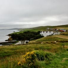
Local seafarers have long recognized these rock pillars as natural orientation points when traveling by water. The distinctive shapes have become part of how people living here understand and describe their coastal landscape.
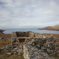
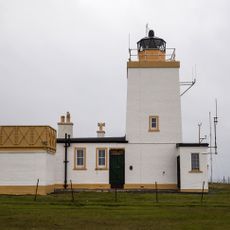
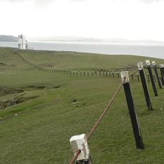
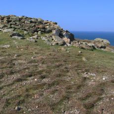
The coastal path near Hillswick Ness offers the best viewing point for these rock formations, with clear sightlines across the water. The area can be windy and changeable, so bring weather-appropriate clothing and check tidal conditions before visiting.
Each of the four pillars has been given a nickname: Main, Slender, Slim, and Stumpy based on their individual shapes. These informal names show how locals and sailors identify features in their environment using straightforward visual differences.
The community of curious travelers
AroundUs brings together thousands of curated places, local tips, and hidden gems, enriched daily by 60,000 contributors worldwide.