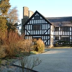
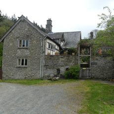
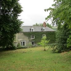
Barland Motte, Medieval motte-and-bailey castle in Old Radnor, Wales.
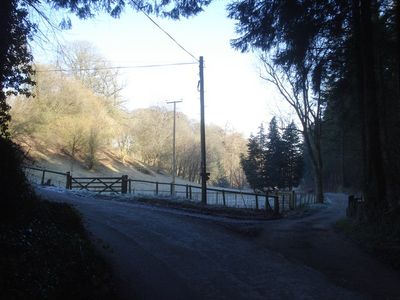
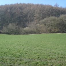
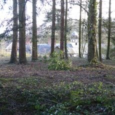
Barland Motte is a medieval motte-and-bailey castle in Old Radnor, Wales, consisting of a large earthen mound surrounded by a shallow ditch. The site displays typical features of medieval fortification design, with clearly visible earthworks that reveal how castles were built and used during this period.
This fortification was built in the 12th century during the Norman invasion of Wales and served local rulers in controlling the surrounding area. Evidence of multiple occupation phases suggests the site remained strategically important for an extended period after its initial construction.
The structure reflects Norman building practices that shaped how Welsh defensive sites were designed and built. Visitors can observe how the raised mound and surrounding space worked together to project authority and control over the territory below.
The site is accessible year-round and requires no special preparation to visit the earthwork remains. Visitors should be ready for uneven ground and outdoor conditions, as there are no facilities on location and the terrain reflects its natural archaeological state.
Excavations reveal the site went through multiple periods of use and functioned as an observation point over the Welsh landscape. This role as a lookout and signal station sets it apart from purely administrative local castles and highlights its broader strategic role.
The community of curious travelers
AroundUs brings together thousands of curated places, local tips, and hidden gems, enriched daily by 60,000 contributors worldwide.