Luddington, civil parish in East Northamptonshire, Northamptonshire, England
Location: North Northamptonshire
GPS coordinates: 52.43999,-0.37753
Latest update: March 6, 2025 09:39
Ashton Wold
4.1 km
Hamerton Zoo Park
4.8 km
Parish Church of St John the Evangelist
3.1 km
St Andrew's Church, Steeple Gidding
3.7 km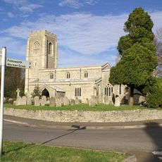
Church of St Peter
4.2 km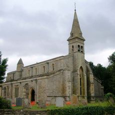
Church of St James
2 km
Church of All Saints
4.9 km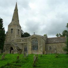
Parish Church of All Saints
3 km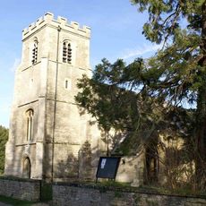
Church of St Peter and St Paul
1.8 km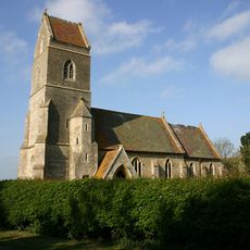
Church of St Peter
5.3 km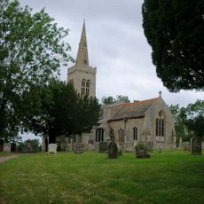
Parish Church of St Michael
1.4 km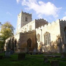
Parish Church of St Nicholas
5.5 km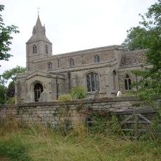
Church of St Margaret
75 m
Parish Of All Saints
5.2 km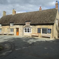
Montague Arms Public House
5.5 km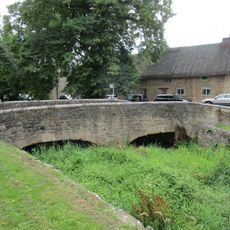
Bridge Approximately 10 Metres West Of The Montague Arms Public House
5.5 km
Cottages Circa 16 Metres North East Of Sycamore Cottage
5 km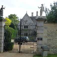
Polebrook Hall and attached Wall with Gatearch
4.8 km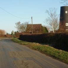
Tower Mill
2 km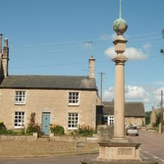
Polebrook and Armston War Memorial
4.9 km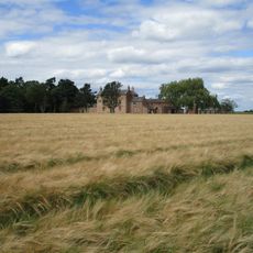
North Lodge Farmhouse
3.2 km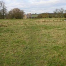
Papley deserted medieval village, moat and fishpond, near Warmington.
5.3 km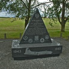
351st Bombardment Group USAAF Memorial, Polebrook
3.2 km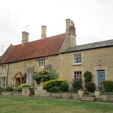
Greyston House
4.9 km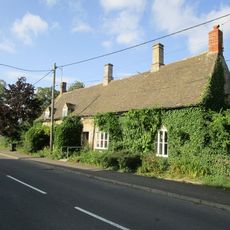
Brook Farmhouse
4.2 km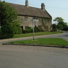
Manor Farmhouse
4.1 km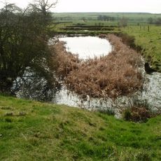
Deserted village (site of)
3.9 km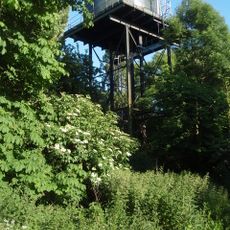
Water Tower
4.7 kmVisited this place? Tap the stars to rate it and share your experience / photos with the community! Try now! You can cancel it anytime.
Discover hidden gems everywhere you go!
From secret cafés to breathtaking viewpoints, skip the crowded tourist spots and find places that match your style. Our app makes it easy with voice search, smart filtering, route optimization, and insider tips from travelers worldwide. Download now for the complete mobile experience.

A unique approach to discovering new places❞
— Le Figaro
All the places worth exploring❞
— France Info
A tailor-made excursion in just a few clicks❞
— 20 Minutes