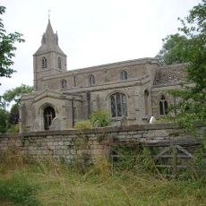
Ashton Wold, Scientific interest site in Northamptonshire, England
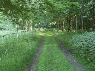
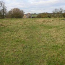
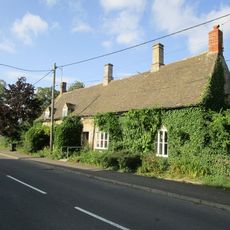
Ashton Wold is a protected woodland site in Northamptonshire with mature oak, ash, and birch trees and a varied understory of shrubs beneath them. The area spans roughly 54 hectares and forms a secondary forest with layered vegetation.
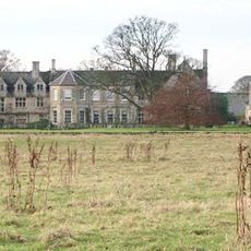
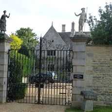
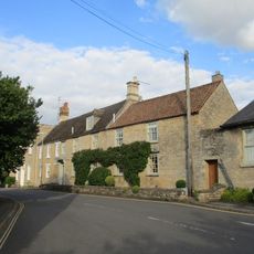
The land developed as a wooded estate and was acquired in 1860 by banker Lionel de Rothschild, later managed by his relative Charles Rothschild. During World War II, the grounds served as a hospital for wounded soldiers and housed RAF and American military personnel.
During World War II, the estate transformed into a hospital for wounded soldiers and provided housing for RAF personnel and American troops.
The site is accessible from Lutton Road and has marked walking paths through the woodland. The best time to visit is during bird observation seasons when various species are most active.
The grounds host uncommon bird species such as woodcocks and hawfinches that thrive in the specific forest conditions found here. These species make the location particularly valuable for bird specialists and nature research.
Location: Ashton
Location: Polebrook
Location: Lutton
GPS coordinates: 52.47500,-0.39400
Latest update: December 10, 2025 20:02
Barnwell Manor
4.8 km
Barnwell Castle
4.8 km
Church of St Peter
2 km
Church of St James
4.7 km
Church of St Mary the Virgin
3.8 km
Church of All Saints
2.4 km
Church of St Peter and St Paul
2.6 km
Church of St Margaret
4.1 km
Montague Arms Public House
4.9 km
21, St Osyth's Lane
4.9 km
Polebrook Hall and attached Wall with Gatearch
2.2 km
Polebrook and Armston War Memorial
2.4 km
Bridge Approximately 10 Metres West Of The Montague Arms Public House
4.9 km
North Lodge Farmhouse
4.1 km
351st Bombardment Group USAAF Memorial, Polebrook
1.1 km
6, East Road
4.8 km
34, Market Place
5 km
Papley deserted medieval village, moat and fishpond, near Warmington.
2.1 km
Brook Farmhouse
1.9 km
Warmington Mill
4.5 km
Milestone At Tl 0500 8943
4.6 km
Berrystead
4.9 km
Manor Farmhouse
2.1 km
30 And 32, Market Place
5 km
Greyston House
2.4 km
East Wall To Premises Occupied By Welland And Nene River Authority
5 km
Water Tower
667 m
Milestone, North Street in wall of Gascoigne Building
4.9 kmVisited this place? Tap the stars to rate it and share your experience / photos with the community! Try now! You can cancel it anytime.
Discover hidden gems everywhere you go!
From secret cafés to breathtaking viewpoints, skip the crowded tourist spots and find places that match your style. Our app makes it easy with voice search, smart filtering, route optimization, and insider tips from travelers worldwide. Download now for the complete mobile experience.
A unique approach to discovering new places❞
— Le Figaro
All the places worth exploring❞
— France Info
A tailor-made excursion in just a few clicks❞
— 20 Minutes