North Cheshire Way, Long-distance footpath in Cheshire, England
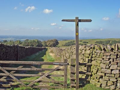
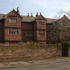
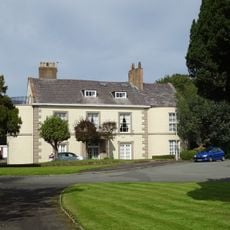
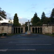
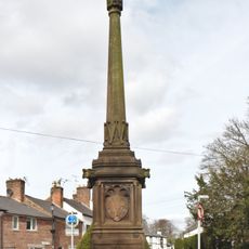
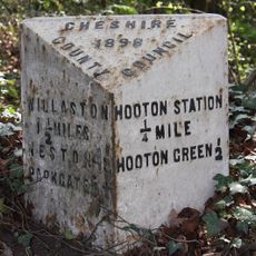
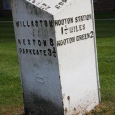
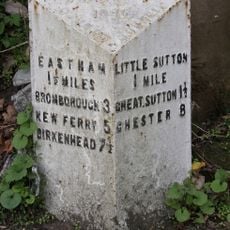
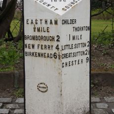
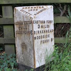
The North Cheshire Way is a long-distance walking trail stretching about 70 miles through Cheshire, running from Hooton Station near Wirral to Disley Station at the edge of the Peak District. The route passes through varied landscapes including river valleys, rolling hills, moorland, parkland estates, and historic towns such as Chester, with consistent yellow arrow markings on black discs throughout.
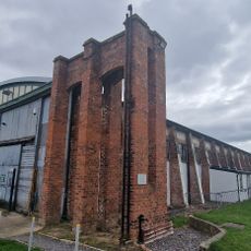
The trail was planned by the Mid-Cheshire Footpath Society based on the idea of member David Kinsell, who passed away before the route was completed. Many sections follow old paths once used for trade and transport, such as river navigation on the Weaver Valley and historic canal routes.
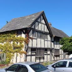
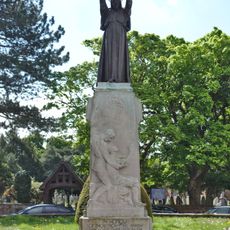
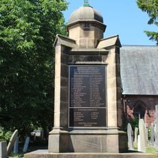
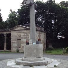
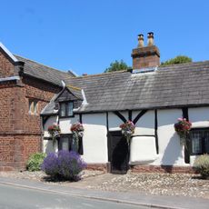
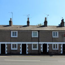
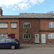
The trail bears the name North Cheshire Way and was created by the Mid-Cheshire Footpath Society to connect urban walkers with the surrounding countryside. Today, people use the route to experience different sides of Cheshire, from remnants of industrial heritage to rural villages like Prestbury with its historic timber-framed buildings.
The trail is well marked and easy to follow without additional maps, though maps and mobile apps are available for reference. Some sections may have tall crops or long grass as obstacles, particularly in summer, and areas near riverbanks can have uneven ground, so careful footing is needed.
In 2025, the route was modified because the Giant's Castle Bridge at Quarry Bank Mill was closed, so a new path was created adding less than half a mile to the overall walk. This adjustment shows how the trail adapts to practical needs while remaining safe for walkers.
The community of curious travelers
AroundUs brings together thousands of curated places, local tips, and hidden gems, enriched daily by 60,000 contributors worldwide.