
Boundary Stone On South Side Of Fence At Ngr Ny 00155987
Boundary Stone On South Side Of Fence At Ngr Ny 00155987, boundary marker in Broomhaugh and Riding, Northumberland, UK
Location: Broomhaugh and Riding
Part of: political border
GPS coordinates: 54.93351,-1.99929
Latest update: March 7, 2025 12:00
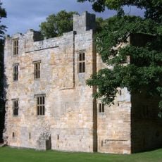
Dilston Castle
4.3 km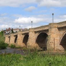
Corbridge Bridge
4.5 km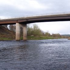
Styford Bridge
3.5 km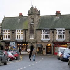
Town Hall With Shops
4.7 km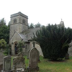
Church of St John
2 km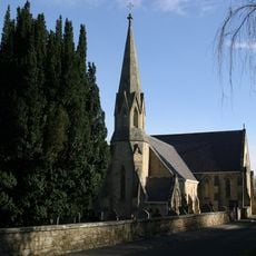
Church of St James
2.2 km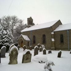
Church of St Mary
3.5 km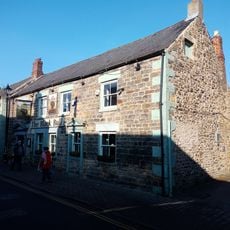
Black Bull Inn
4.7 km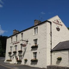
Wellington Inn
2.3 km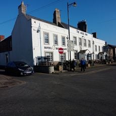
The Angel Inn
4.6 km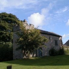
Dilston Chapel
4.2 km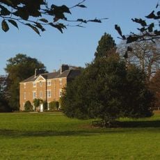
Styford Hall
2.9 km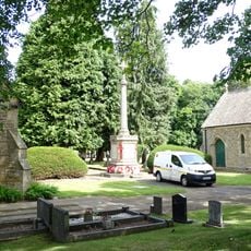
Corbridge War Memorial
4.4 km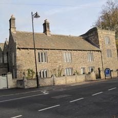
Low Hall
4.6 km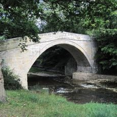
Earls Bridge Over Devils Water, 150 Metres North-West Of Dilston Hall
4.4 km
East Portal Of Farnley Scar Tunnel
3.3 km
The Manor House And Wall Attached To Rear
2.2 km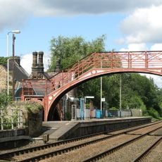
Footbridge at Riding Mill railway station
2.5 km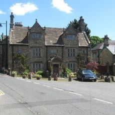
Monksholme
4.5 km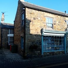
Norma James Dress Shop And Attached Cottage To Rear
4.7 km
Corbridge Library
4.7 km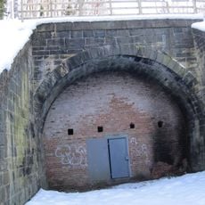
West Portal Of Farnley Scar Tunnel
3.4 km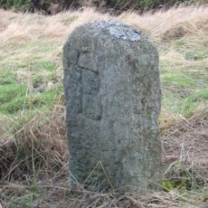
The Hare Stone
4.4 km
Milepost 90 Metres East Of Styford Lodge
4.1 km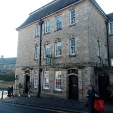
Lloyds Bank
4.6 km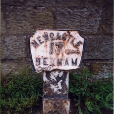
Milepost, approach on S side of bridge
4.4 km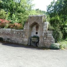
Drinking Fountain 60 Metres South-East Of Church Of St. James
2.3 km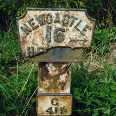
Milepost, Howden Dene, near Cricket Plantation
4.4 kmReviews
Visited this place? Tap the stars to rate it and share your experience / photos with the community! Try now! You can cancel it anytime.
Discover hidden gems everywhere you go!
From secret cafés to breathtaking viewpoints, skip the crowded tourist spots and find places that match your style. Our app makes it easy with voice search, smart filtering, route optimization, and insider tips from travelers worldwide. Download now for the complete mobile experience.

A unique approach to discovering new places❞
— Le Figaro
All the places worth exploring❞
— France Info
A tailor-made excursion in just a few clicks❞
— 20 Minutes