
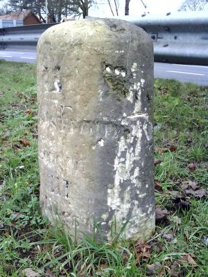
Milestone Approximately 98 Metres West Of Junction With Merewood Avenue
Milestone Approximately 98 Metres West Of Junction With Merewood Avenue, milestone in Risinghurst and Sandhills, Oxford, Oxfordshire, UK
Location: Risinghurst and Sandhills
Inception: 18 century
GPS coordinates: 51.76257,-1.18321
Latest update: March 7, 2025 21:49
The Kilns
795 m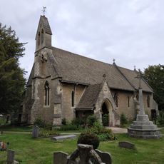
Holy Trinity Church
1.2 km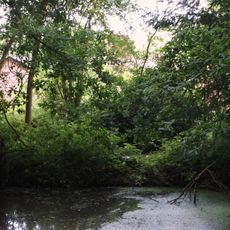
CS Lewis Nature Reserve
854 m
Rock Edge Nature Reserve
1.8 km
Brasenose Wood and Shotover Hill
249 m
The Kilns (C S Lewis House)
786 m
Church of St Nicholas
1.8 km
Western Pier of Gateway Approximately 1150 Metres South West of Shotover Park
1.9 km
Church of England School
1.1 km
Hillside Cottage
1.7 km
Bury Knowle
1.8 km
3, Larkins Lane
1.9 km
Merry Cottage
1.9 km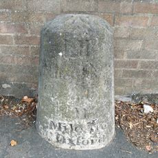
Stone In London Road Outside Number 196
1.6 km
1 and 2, North Place
1.9 km
Milestone Approximately 160 Metres South West of Redhill Farmhouse
1.5 km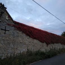
Wall of Mathers Farm Fronting Larkins Lane
1.9 km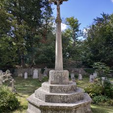
Headington Quarry War Memorial
1.2 km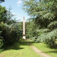
The Obelisk Approximately 200 Metres To West Of Shotover Park
1.9 km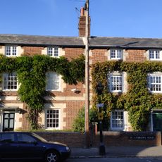
1 and 3, St Andrews Road
1.9 km
Barn Of Mathers Farm
1.9 km
Eastern Pier of Gateway Approximately 1150 Metres South West of Shotover Park
2 km
Wall And Gatepiers Of The Grange
1.9 km
Boundary Wall Of Bury Knowle
1.8 km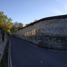
Wall of Headington House
1.9 km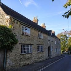
1 and 2, Larkins Lane
1.9 km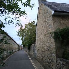
Boundary Wall Of Number 56 Fronting The Croft
1.9 km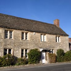
Mathers Farmhouse
1.9 kmReviews
Visited this place? Tap the stars to rate it and share your experience / photos with the community! Try now! You can cancel it anytime.
Discover hidden gems everywhere you go!
From secret cafés to breathtaking viewpoints, skip the crowded tourist spots and find places that match your style. Our app makes it easy with voice search, smart filtering, route optimization, and insider tips from travelers worldwide. Download now for the complete mobile experience.

A unique approach to discovering new places❞
— Le Figaro
All the places worth exploring❞
— France Info
A tailor-made excursion in just a few clicks❞
— 20 Minutes