
Kettering Library, public library in Kettering, Northamptonshire
Location: Kettering
Elevation above the sea: 88.63817 m
GPS coordinates: 52.39632,-0.72752
Latest update: March 5, 2025 13:01

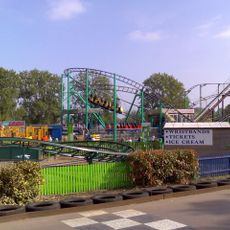
Wicksteed Park
2.1 km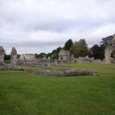
Thetford Priory
2.5 km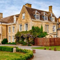
Barton Seagrave Hall
2.3 km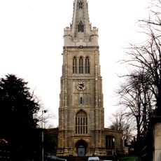
Church of St Peter and St Paul
88 m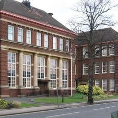
Kettering Municipal Offices
108 m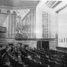
Kettering Savoy
679 m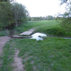
Wicksteed Park Nature Reserve
2.1 km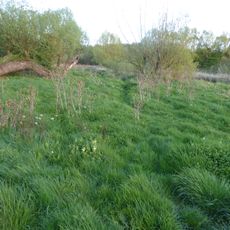
Southfield Farm Marsh
3 km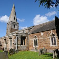
Church of St Andrew
3.9 km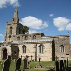
Church of St Mary, Weekley
3.4 km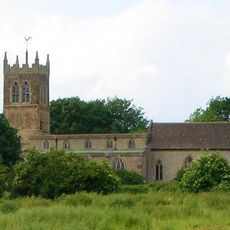
Church of All Saints, Pytchley
3.6 km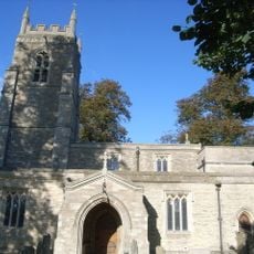
Church of St Edmund, Warkton
3 km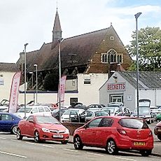
Church of Saint Mary
1 km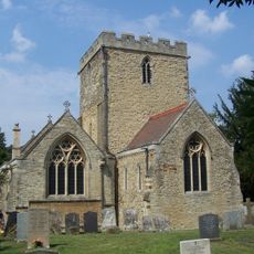
Church of Saint Botolph
2.5 km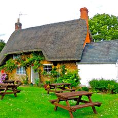
Post Office
3.1 km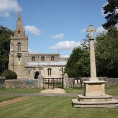
Weekley War Memorial
3.4 km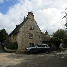
Keeper's Cottage
3.7 km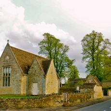
Village Hall
3.1 km
Chesham House
566 m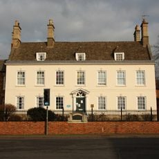
Carey House
570 m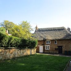
Bonnevie Cottage
3.2 km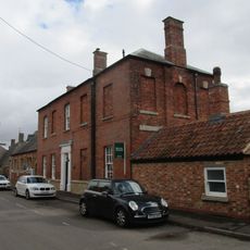
Old School House
3.8 km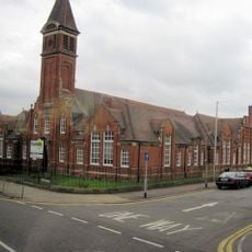
Main Block Of Secondary Modern School For Girls
901 m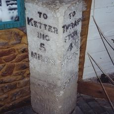
Manor House
48 m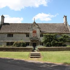
Montagu Hospital
3.3 km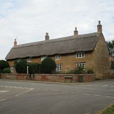
White Hill Farmhouse
3.9 km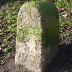
Milestone, by No. 301, Stamford Road Weekley
2.1 km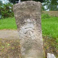
Milestone, Barton Road, at entrance to Wickstead Park
1.7 kmReviews
Visited this place? Tap the stars to rate it and share your experience / photos with the community! Try now! You can cancel it anytime.
Discover hidden gems everywhere you go!
From secret cafés to breathtaking viewpoints, skip the crowded tourist spots and find places that match your style. Our app makes it easy with voice search, smart filtering, route optimization, and insider tips from travelers worldwide. Download now for the complete mobile experience.

A unique approach to discovering new places❞
— Le Figaro
All the places worth exploring❞
— France Info
A tailor-made excursion in just a few clicks❞
— 20 Minutes