
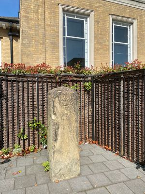
Milestone, milestone in Wandsworth, Greater London, UK
Location: London Borough of Wandsworth
Inception: 18 century
GPS coordinates: 51.45689,-0.20061
Latest update: March 4, 2025 16:58
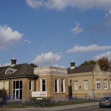
Wandsworth Museum
25 m
De Morgan Centre
35 m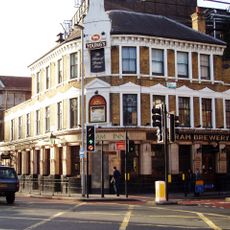
Brewery Tap
535 m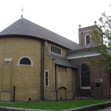
All Saints Church, Wandsworth
371 m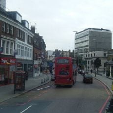
Wandsworth High Street
452 m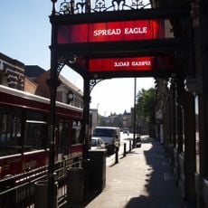
Spread Eagle
573 m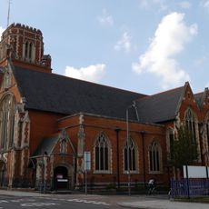
St Thomas a Becket, Wandsworth
43 m
23 Oakhill Road
462 m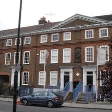
Church Row, Wandsworth
415 m
25 Oakhill Road
448 m
155–171 Oakhill Road
328 m
Church Row
417 m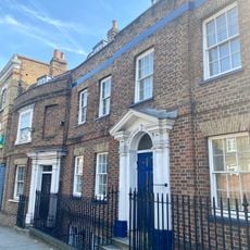
25 And 27, West Hill Sw18
69 m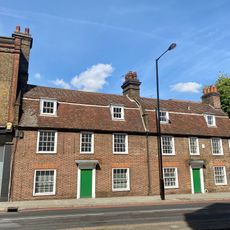
140-142, Wandsworth High Street
175 m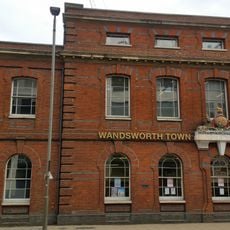
Old County Court House
569 m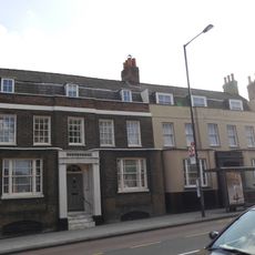
29 And 31, West Hill Sw18
60 m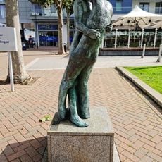
Fall
641 m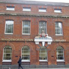
Wandsworth Town Library
570 m
Wentworth House With Forecourt Wall, Gate And Gatepiers
512 m
22 And 24, Putney Bridge Road Sw18
234 m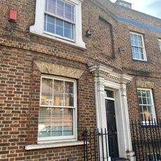
23, West Hill Sw18
79 m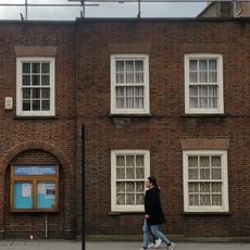
Friends Meeting House
613 m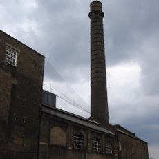
Ram (youngs) Brewery Complex
538 m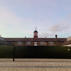
Stables At Ram (Youngs) Brewery Complex
564 m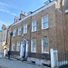
33, West Hill Sw18
39 m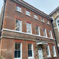
70, Wandsworth High Street Sw18
504 m
Nexus
629 m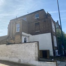
35 And 37, West Hill Sw18
30 mReviews
Visited this place? Tap the stars to rate it and share your experience / photos with the community! Try now! You can cancel it anytime.
Discover hidden gems everywhere you go!
From secret cafés to breathtaking viewpoints, skip the crowded tourist spots and find places that match your style. Our app makes it easy with voice search, smart filtering, route optimization, and insider tips from travelers worldwide. Download now for the complete mobile experience.

A unique approach to discovering new places❞
— Le Figaro
All the places worth exploring❞
— France Info
A tailor-made excursion in just a few clicks❞
— 20 Minutes