
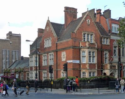
St Michaels Hall, City of Westminster, Greater London, SW1W
Location: City of Westminster
GPS coordinates: 51.49275,-0.14818
Latest update: March 22, 2025 16:27
Eccleston Square
289 m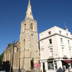
St. Michael's Church, Chester Square
255 m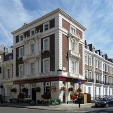
The Greyhound Public House
193 m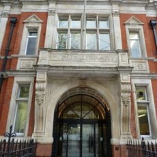
Victoria Library
17 m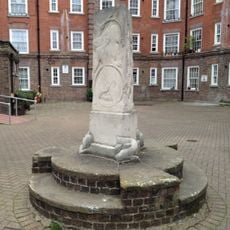
Arnrid Johnston Obelisk
250 m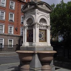
Fountain On East Side Of Junction With Avery Farm Row
238 m
25-33, Eccleston Street Sw1
233 m
Eccleston Bridge
234 m
46-63 Chester Square Including No. 39 Eccleston Street
248 m
National Audit Office Head Office
132 m
87-101, Eaton Terrace Sw1
290 m
78-94, Ebury Street Sw1
186 m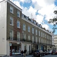
65-79, Elizabeth Street Sw1
269 m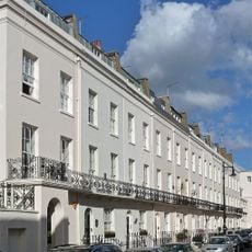
4-24, Gerald Road Sw1
266 m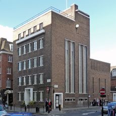
St Michael's House
31 m
117-133, Ebury Street Sw1
137 m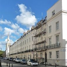
1-25, Chester Row Sw1
290 m
42-45, Chester Square Sw1
217 m
24-32, Eccleston Street Sw1
267 m
135 And 137, Ebury Street Sw1
138 m
3-33, Alderney Street Sw1
254 m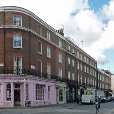
55-63, Elizabeth Street Sw1
221 m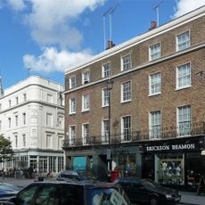
38A-42, Elizabeth Street Sw1
196 m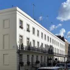
23-35, South Eaton Place Sw1
248 m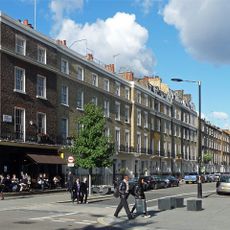
96-114, Ebury Street Sw1
169 m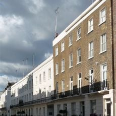
37-41, South Eaton Place Sw1
234 m
58-70, Ebury Street Sw1
207 m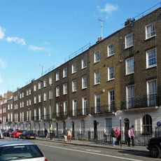
91-109, Ebury Street Sw1
173 mReviews
Visited this place? Tap the stars to rate it and share your experience / photos with the community! Try now! You can cancel it anytime.
Discover hidden gems everywhere you go!
From secret cafés to breathtaking viewpoints, skip the crowded tourist spots and find places that match your style. Our app makes it easy with voice search, smart filtering, route optimization, and insider tips from travelers worldwide. Download now for the complete mobile experience.

A unique approach to discovering new places❞
— Le Figaro
All the places worth exploring❞
— France Info
A tailor-made excursion in just a few clicks❞
— 20 Minutes