
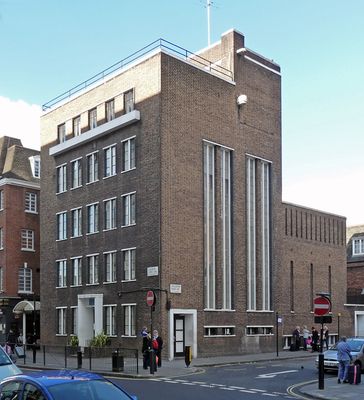
St Michael's House, building in London
Location: City of Westminster
Inception: 1938
Architects: Nugent Francis Cachemaille-Day
GPS coordinates: 51.49283,-0.14860
Latest update: March 17, 2025 00:48
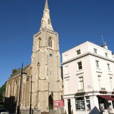
St. Michael's Church, Chester Square
227 m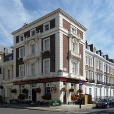
The Greyhound Public House
221 m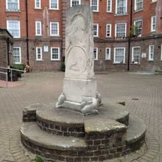
Arnrid Johnston Obelisk
236 m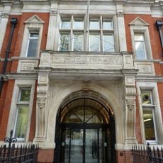
Victoria Library
38 m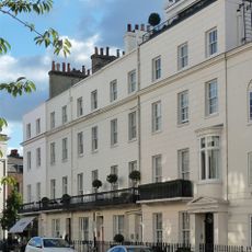
25-33, Eccleston Street Sw1
220 m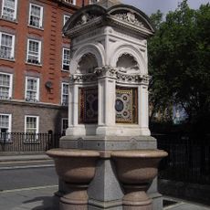
Fountain On East Side Of Junction With Avery Farm Row
229 m
Eccleston Bridge
258 m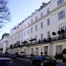
46-63 Chester Square Including No. 39 Eccleston Street
228 m
37-39, Chester Square Sw1
274 m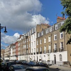
87-101, Eaton Terrace Sw1
261 m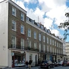
65-79, Elizabeth Street Sw1
239 m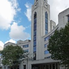
National Audit Office Head Office
142 m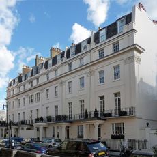
42-45, Chester Square Sw1
190 m
78-94, Ebury Street Sw1
166 m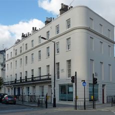
24-32, Eccleston Street Sw1
256 m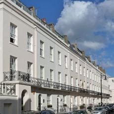
4-24, Gerald Road Sw1
235 m
117-133, Ebury Street Sw1
110 m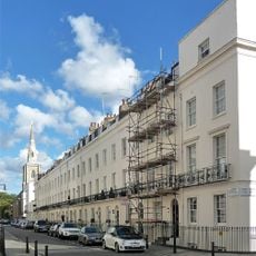
1-25, Chester Row Sw1
259 m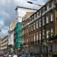
135 And 137, Ebury Street Sw1
108 m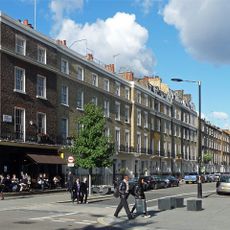
96-114, Ebury Street Sw1
140 m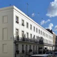
23-35, South Eaton Place Sw1
218 m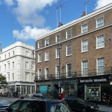
38A-42, Elizabeth Street Sw1
166 m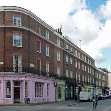
55-63, Elizabeth Street Sw1
190 m
58-70, Ebury Street Sw1
191 m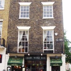
139, Ebury Street Sw1
105 m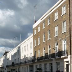
37-41, South Eaton Place Sw1
204 m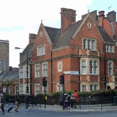
St Michaels Hall
31 m
91-109, Ebury Street Sw1
159 mReviews
Visited this place? Tap the stars to rate it and share your experience / photos with the community! Try now! You can cancel it anytime.
Discover hidden gems everywhere you go!
From secret cafés to breathtaking viewpoints, skip the crowded tourist spots and find places that match your style. Our app makes it easy with voice search, smart filtering, route optimization, and insider tips from travelers worldwide. Download now for the complete mobile experience.

A unique approach to discovering new places❞
— Le Figaro
All the places worth exploring❞
— France Info
A tailor-made excursion in just a few clicks❞
— 20 Minutes