
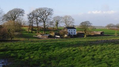
Red Load Farmhouse, farmhouse in Arkholme-with-Cawood, Lancaster, Lancashire, UK
Location: Arkholme-with-Cawood
GPS coordinates: 54.14723,-2.66719
Latest update: April 4, 2025 03:51
Capernwray Hall
1.9 km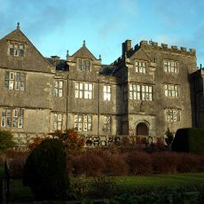
Borwick Hall
4 km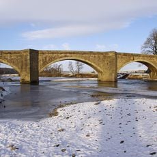
Loyn Bridge
3.3 km
St Wilfrid's Church
3.6 km
Capernwray Chapel
2.4 km
St John the Baptist's Church, Arkholme
2.5 km
St John the Evangelist's Church, Gressingham
2.8 km
St Mary's Church, Borwick
3.6 km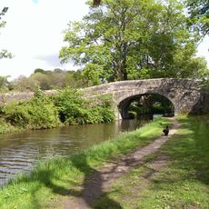
Lancaster Canal Hodgson's Bridge (Number 134)
3.7 km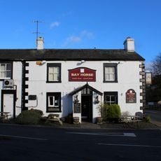
Bay Horse Hotel
1.8 km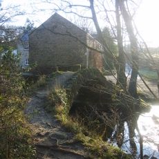
Capernwray Packhorse Bridge, 130 Metres Downstream From Keer Bridge (Aqueduct) By Mill House
3.7 km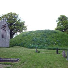
Chapel Hill Motte, Arkholme
2.5 km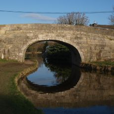
Lancaster Canal Borwick Hall Bridge (Number 135)
4.1 km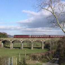
Capernwray Viaduct
3.7 km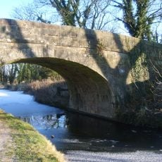
Lancaster Canal Canal Bridge (Number 131) North West Of Capernwray Old Hall
3.6 km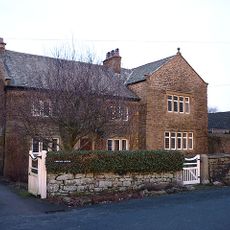
Cawood House
2.3 km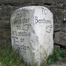
Milestone
3.6 km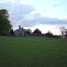
Storrs Hall
1.6 km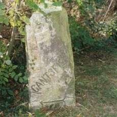
Boundary Stone
4.3 km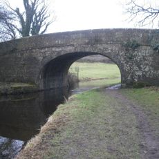
Lancaster Canal Taylor's Bridge (Number 137)
4.1 km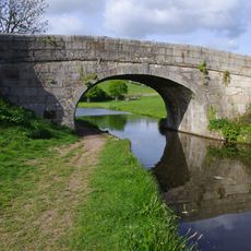
Lancaster Canal Sanders Bridge (Number 136)
4.1 km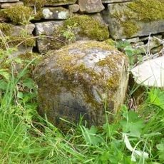
Boundary Stone Between Dalton And Hutton Roof
4 km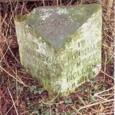
Milestone
3.5 km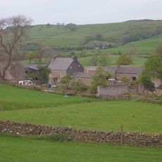
Gunnerthwaite Farmhouse
954 m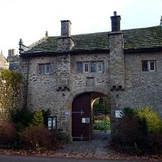
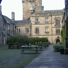
Borwick Hall Gatehouse
4 km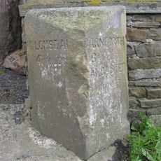
Milestone
2.2 km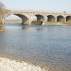
Arkholme Viaduct
2.7 km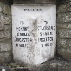
Milestone
3.6 kmReviews
Visited this place? Tap the stars to rate it and share your experience / photos with the community! Try now! You can cancel it anytime.
Discover hidden gems everywhere you go!
From secret cafés to breathtaking viewpoints, skip the crowded tourist spots and find places that match your style. Our app makes it easy with voice search, smart filtering, route optimization, and insider tips from travelers worldwide. Download now for the complete mobile experience.

A unique approach to discovering new places❞
— Le Figaro
All the places worth exploring❞
— France Info
A tailor-made excursion in just a few clicks❞
— 20 Minutes