
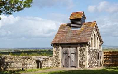
Charnel House At North West Corner Of Churchyard, building in Cliffe and Cliffe Woods, Medway, Kent, UK
Location: Cliffe and Cliffe Woods
GPS coordinates: 51.46228,0.49633
Latest update: March 6, 2025 14:08
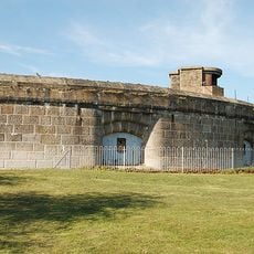
Coalhouse Fort
4.4 km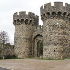
Cooling Castle
2 km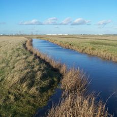
North Kent Marshes
2.4 km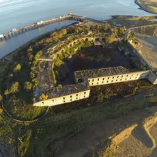
Cliffe Fort
2.8 km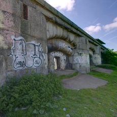
Shornemead Fort
4.7 km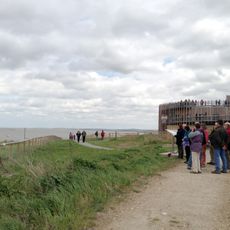
Thurrock Thameside Nature Park
5.5 km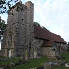
St James' Church, Cooling
2.2 km
St Mary's Church, Higham
3.1 km
High Halstow NNR
4.6 km
Mucking Flats and Marshes
5 km
Chattenden Woods and Lodge Hill
3.9 km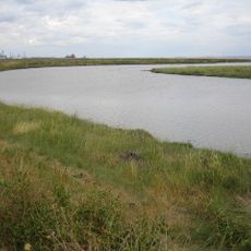
Mucking Creek
5.5 km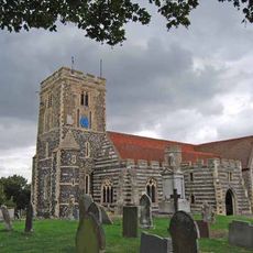
Church of St Helen
89 m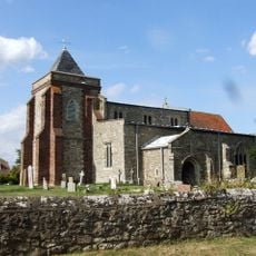
Church of St Margaret
4.7 km
Church of St Katherine
4.6 km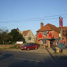
The Red Dog Public House
4.7 km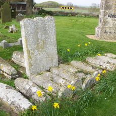
Comport and Baker Tombs 5 Yards to South of Church of St James
2.2 km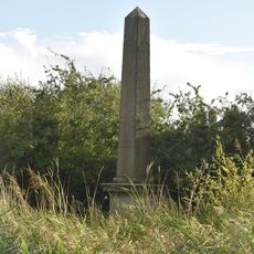
The Obelisk
3.9 km
Barn At Higham Hall
4.7 km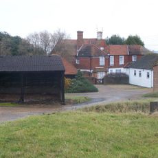
White House Farm
4.7 km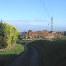
Higham Hall
4.7 km
Higham Mill (Mill Building)
5.1 km
Cooling Court
2.6 km
Barn At Rye Farm
1.3 km
Stone House Farmhouse
5.4 km
Dux Court
4.6 km
Mockbeggar
4.4 km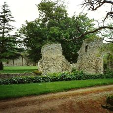
Inner Ward To Cooling Castle
2 kmReviews
Visited this place? Tap the stars to rate it and share your experience / photos with the community! Try now! You can cancel it anytime.
Discover hidden gems everywhere you go!
From secret cafés to breathtaking viewpoints, skip the crowded tourist spots and find places that match your style. Our app makes it easy with voice search, smart filtering, route optimization, and insider tips from travelers worldwide. Download now for the complete mobile experience.

A unique approach to discovering new places❞
— Le Figaro
All the places worth exploring❞
— France Info
A tailor-made excursion in just a few clicks❞
— 20 Minutes