North Kent Marshes, Protected wetland area in Kent, England
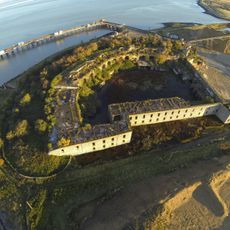
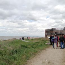
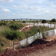
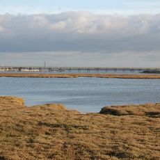
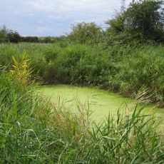
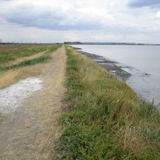
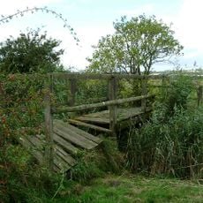
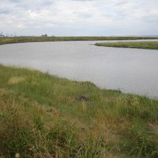
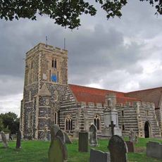
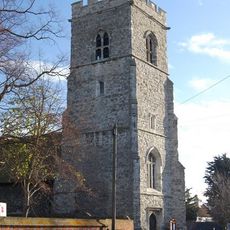
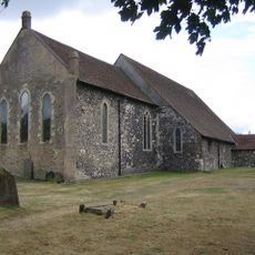
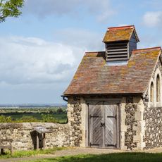
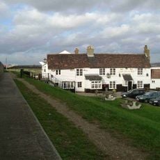
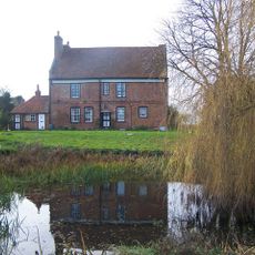
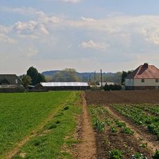
North Kent Marshes form a coastal wetland in Kent, England, made up of brackish water bodies, pasture fields, and tidal channels. A dense network of drainage channels and water control structures runs through the area, managing the flow of fresh and salt water across the land.
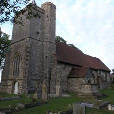
The land formed gradually through coastal processes that built up mud, salt marsh, and low-lying ground over many centuries. Large drainage schemes carried out in later periods reshaped much of the terrain, opening it up for farming and allowing settlements to take root.
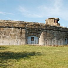
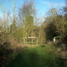
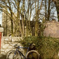
Local people have long used these wetlands for walking and birdwatching, and both activities remain common today. The water gates and drainage channels still visible across the land reflect how farming shaped this corner of Kent over generations.
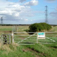
The marshes are best explored on foot or by bicycle, and several marked paths and viewing points make it easy to get around. The ground is often wet and muddy, so sturdy footwear and waterproof clothing are worth bringing whatever the season.
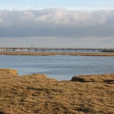
The marshes sit on one of Europe's main migration routes, which means some bird species stop here for only a few days before moving on. On certain autumn nights, visitors can hear the calls of birds passing overhead long before they can spot them in the sky.
The community of curious travelers
AroundUs brings together thousands of curated places, local tips, and hidden gems, enriched daily by 60,000 contributors worldwide.