Enable Location

We need your location to show you interesting places around you

Discover nearby places

Find interesting locations and hidden gems around you

Precise directions

Get accurate directions and distances to places

Your location is never shared with other users. It's only used when you tap the location button.

Lower Horse

Log in to your account

Start exploring — it's free

Trusted by 61,366 travelers worldwide

Continue with Google
Continue with Apple
or

We will send you a code to connect

By continuing, you accept our Terms and Conditions and our Privacy Policy

Check your inbox

We've sent a pincode in your inbox. Please enter the code below.

Lower Horse

Lower Horse, River island in Thames Estuary, England

Description

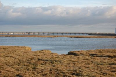
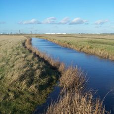
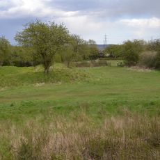
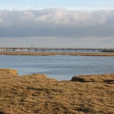
Lower Horse is a river island in the Thames Estuary lying between Canvey Island and Stanford-le-Hope. The island consists of permanent marshland crossed by six internal creeks that drain northward toward the main river.

History

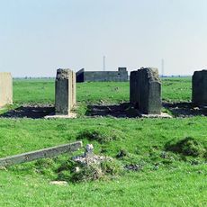
The island separated from the English mainland during medieval times as part of the natural formation of Thames Estuary islands. Salt extraction was recorded as an activity here during the early 1900s based on historical maps.

Culture

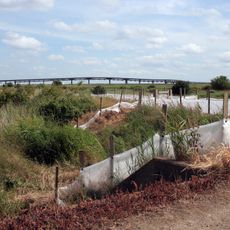
Maps from 1919 document the island's salt extraction activities through the presence of saltings, marking a connection to traditional maritime industries.

Practical

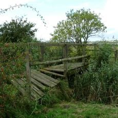
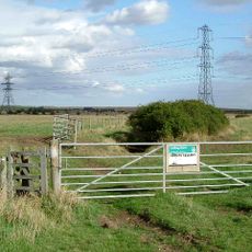
The island is uninhabited and difficult to access due to environmental conservation regulations. Anyone wishing to visit must arrange special permission in advance.

Did you know?

The Essex administrative boundary runs between Lower Horse and Canvey Island, dividing these islands administratively. This invisible line marks an official division between two local jurisdictions in the river estuary.

GPS coordinates
51.51670,0.53520
Latest update
December 21, 2025 16:05

AroundUs brings together thousands of curated places, local tips, and hidden gems, enriched daily by 60,000 contributors worldwide. Discover all places nearby (United Kingdom).

« Lower Horse - River island in Thames Estuary, England » is provided by Around Us (aroundus.com). Images and texts are derived from Wikimedia project under a Creative Commons license. You are allowed to copy, distribute, and modify copies of this page, under the conditions set by the license, as long as this note is clearly visible.

Discover hidden gems everywhere you go!

From secret cafés to breathtaking viewpoints, skip the crowded tourist spots and find places that match your style. Our app makes it easy with voice search, smart filtering, route optimization, and insider tips from travelers worldwide. Download now for the complete mobile experience.

Around Us App Screenshot

A unique approach to discovering new places

Le Figaro

All the places worth exploring

France Info

A tailor-made excursion in just a few clicks

20 Minutes

Around Us
Travel Guide & Maps
Download

Send to your phone

QR Code
1

Open the camera app on your mobile.

2

Point at the QR code with your camera. A notification will appear.

3

Tap the notification to open the link.