
Boundary Stone In Wall In Front Of Number 7, boundary marker in Newcastle upon Tyne, Tyne and Wear, UK
Location: Newcastle upon Tyne
Part of: political border
GPS coordinates: 54.99439,-1.60135
Latest update: March 13, 2025 08:56
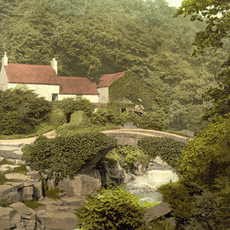
Jesmond Dene
436 m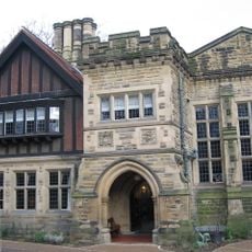
Jesmond Dene House
541 m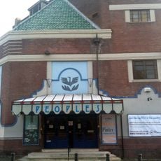
People's Theatre
1.1 km
Banqueting House With Added Gatehouse And Other Extensions
478 m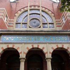
Jesmond Synagogue
1 km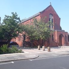
Holy Name parish, Jesmond
386 m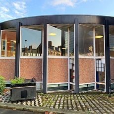
Jesmond Library
346 m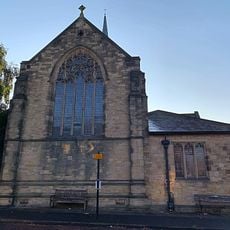
Jesmond Church Of St Hilda
467 m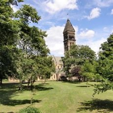
Church of St George
119 m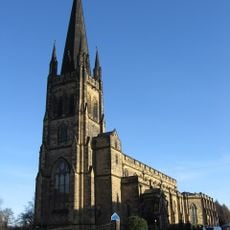
Church of the Holy Trinity
883 m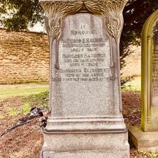
Fairless Harrison Tomb About 100 Metres East Of Jesmond Cemetery Gateway
1.2 km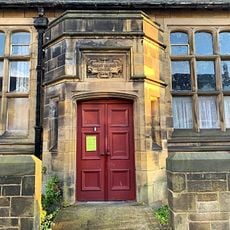
Sunday School Attached To Church Of St Hilda
485 m
Fleming Memorial Hospital
1.1 km
All Saints' Cemetery Mortuary Chapels
1 km
St Mary's Chapel, Jesmond
382 m
Armstrong Bridge
945 m
The Former Phillipson Memorial Orphanage At Princess Mary Maternity Hospital
987 m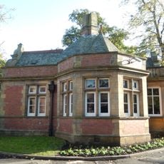
Lodge To South Of Fleming Memorial Hospital
1.1 km
Town Moor Boundary Stone Opposite Number 73
750 m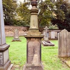
Tomb Of Thomas Oliver In Jesmond Cemetery About 140 Metres North East Of Gateway
1.1 km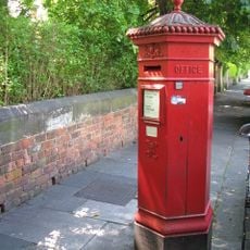
Pillar Box North Of Number 4
752 m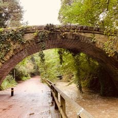
Footbridge North East Of Banqueting Hall
475 m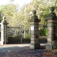
Gates And Gate Piers To South Of Fleming Memorial Hospital
1.1 km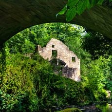
Jesmond Dene Mill
534 m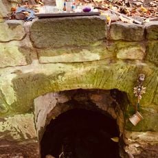
St Mary's Well
333 m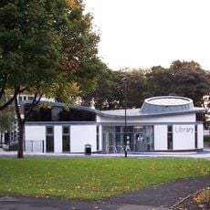
High Heaton Library
997 m
Jesmond United Reformed Church
990 m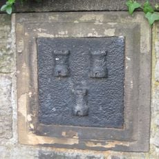
Boundary Mark In Wall At Junction With South Side Of Moorfield
714 mReviews
Visited this place? Tap the stars to rate it and share your experience / photos with the community! Try now! You can cancel it anytime.
Discover hidden gems everywhere you go!
From secret cafés to breathtaking viewpoints, skip the crowded tourist spots and find places that match your style. Our app makes it easy with voice search, smart filtering, route optimization, and insider tips from travelers worldwide. Download now for the complete mobile experience.

A unique approach to discovering new places❞
— Le Figaro
All the places worth exploring❞
— France Info
A tailor-made excursion in just a few clicks❞
— 20 Minutes