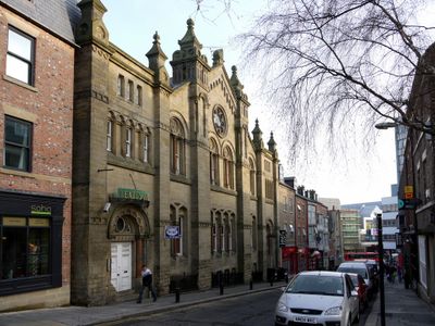
Leazes Park Synagogue, Grade II listed building and student housing in Newcastle upon Tyne, England.
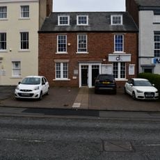
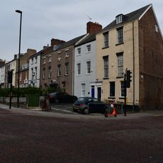
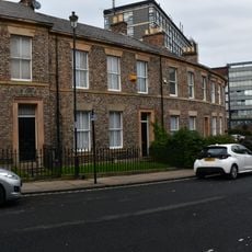
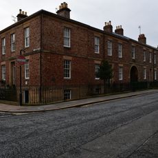
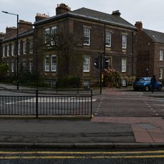
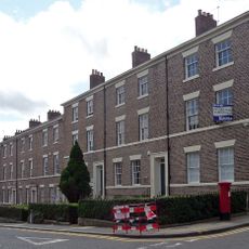
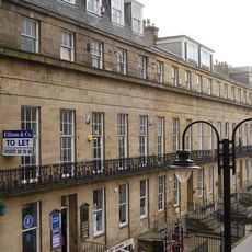
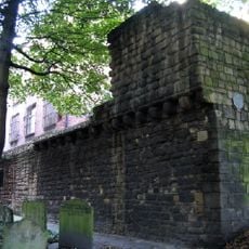
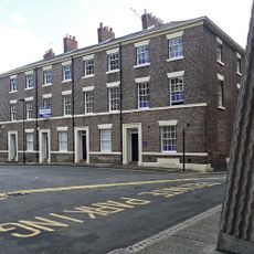
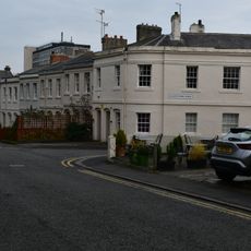
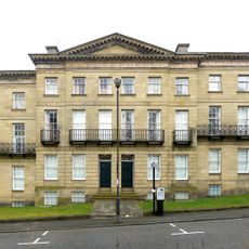
Leazes Park Synagogue is a listed building and student housing in Newcastle upon Tyne that was originally built in 1880 as a Jewish place of worship. The two-storey sandstone structure displays North Italian architectural style and stands on Leazes Park Road.
The building was founded in 1880 as a synagogue for Newcastle's Jewish community and served this purpose until 1978. After closure, it was converted to a shopping arcade and later transformed into student housing.
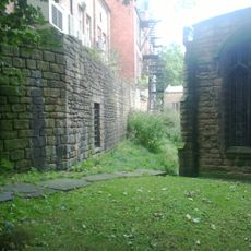
The basement served as a schoolroom and housed a Jewish sports club founded in 1934 where people gathered for social activities. These spaces reveal how the building functioned as more than a place of worship, supporting community life.
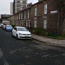
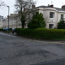
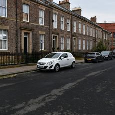
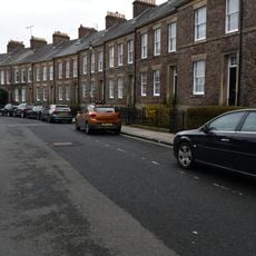
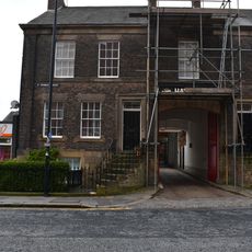
The building underwent extensive restoration in 1996 and now operates as student housing, so interior access may not be available to visitors. The architecture can be viewed and appreciated from the street, where the sandstone facade retains its distinctive details from the restoration work.
A fire in 1989 caused significant damage to the building while it was operating as a shopping arcade. The extensive restoration that followed prevented further deterioration and made its conversion to student housing possible.
Location: Newcastle upon Tyne
Inception: 1880
Address: 12 Leazes Park Road
GPS coordinates: 54.97517,-1.61772
Latest update: December 14, 2025 16:45
St Andrew's Church, Newcastle upon Tyne
179 m
Ever Tower
244 m
Co-operative Stores
238 m
28 And 30, Leazes Park Road
66 m
32-52, Leazes Park Road
106 m
18-26, Leazes Park Road
42 m
Gunn Tomb About 10 Metres East Of South Transept Of Church Of St Andrew
178 m
Great War Memorial
176 m
20-27, St Thomas' Crescent
223 m
19, St Thomas' Crescent
233 m
1-5, Leazes Crescent
178 m
17 And 19, St Thomas' Street
248 m
Number 18 And Gate And Area Railings
244 m
1-9, St Thomas' Square
238 m
7-11, St James Street
145 m
1-4 and 6-7 Eldon Square
234 m
Town Wall South Of Numbers 74-80 Town Wall To Rear Of Number 43
208 m
6-12, Leazes Crescent
193 m
2-12, St Thomas' Square
249 m
Numbers 1-16 And Area Railings
193 m
26, Terrace Place
162 m
Town Wall To Rear Of Numbers 1-25 Odd
143 m
1-15, Gallowgate
134 m
Gate Piers And Wall In Front Of Church Of St Andrew, And Pant Attached
195 m
1 to 4, St James' Terrace
181 m
16-24, Leazes Crescent
217 m
3A, St Thomas' Street
230 m
1-59, Leazes Terrace
258 mVisited this place? Tap the stars to rate it and share your experience / photos with the community! Try now! You can cancel it anytime.
Discover hidden gems everywhere you go!
From secret cafés to breathtaking viewpoints, skip the crowded tourist spots and find places that match your style. Our app makes it easy with voice search, smart filtering, route optimization, and insider tips from travelers worldwide. Download now for the complete mobile experience.
A unique approach to discovering new places❞
— Le Figaro
All the places worth exploring❞
— France Info
A tailor-made excursion in just a few clicks❞
— 20 Minutes